Asian Surveying & Mapping
Breaking News
Singapore unveils road map to help develop international business standards and conformance
Singapore has unveiled plans to help develop international standards...
Adelaide University to run space and defence venture launchpad ahead of Australian Space Forum
Adelaide University’s Innovation & Collaboration Centre (ICC) will deliver...
Japan’s H3 rocket returns to space with successful launch after December setback
Japan’s flagship H3 rocket has returned to flight six...
KONGSBERG accelerates seabed mapping developments with Ocean Exploration Trust expedition aboard Exploration Vessel Nautilus
KONGSBERG and the Ocean Exploration Trust (OET) are set...
Russian satellites linked to mysterious GPS disruptions across several countries
Since 2019, GPS signals across Europe, Greenland and Canada...
Isro’s Bahubali LVM3 that launched Chandrayaan-3 to be handed to private sector
IN-SPACe has invited Indian companies to take over the...
India to host 13th UN Global Geospatial Information Management Asia-Pacific Conference
India is hosting the 13th United Nations Global Geospatial...
Unseenlabs’ BRO-22 to Become the First Foreign Private Satellite Launched Aboard Japan’s H3 Launch Vehicle
Scheduled for June 10, between 09:53 and 11:52 a.m....
PLD Space increases investment in its Launch Complex at the Guiana Space Centre (CSG) to €35M, strengthening Europe’s sovereign space infrastructure
The investment is expected to generate approximately €21 million...
India seeks Singapore capital to fuel its ambitious private space sector
India aims to grow its space economy to US$44...

May 19th, 2026
NASA Analysis Shows Irreversible Sea Level Rise for Pacific Islands 

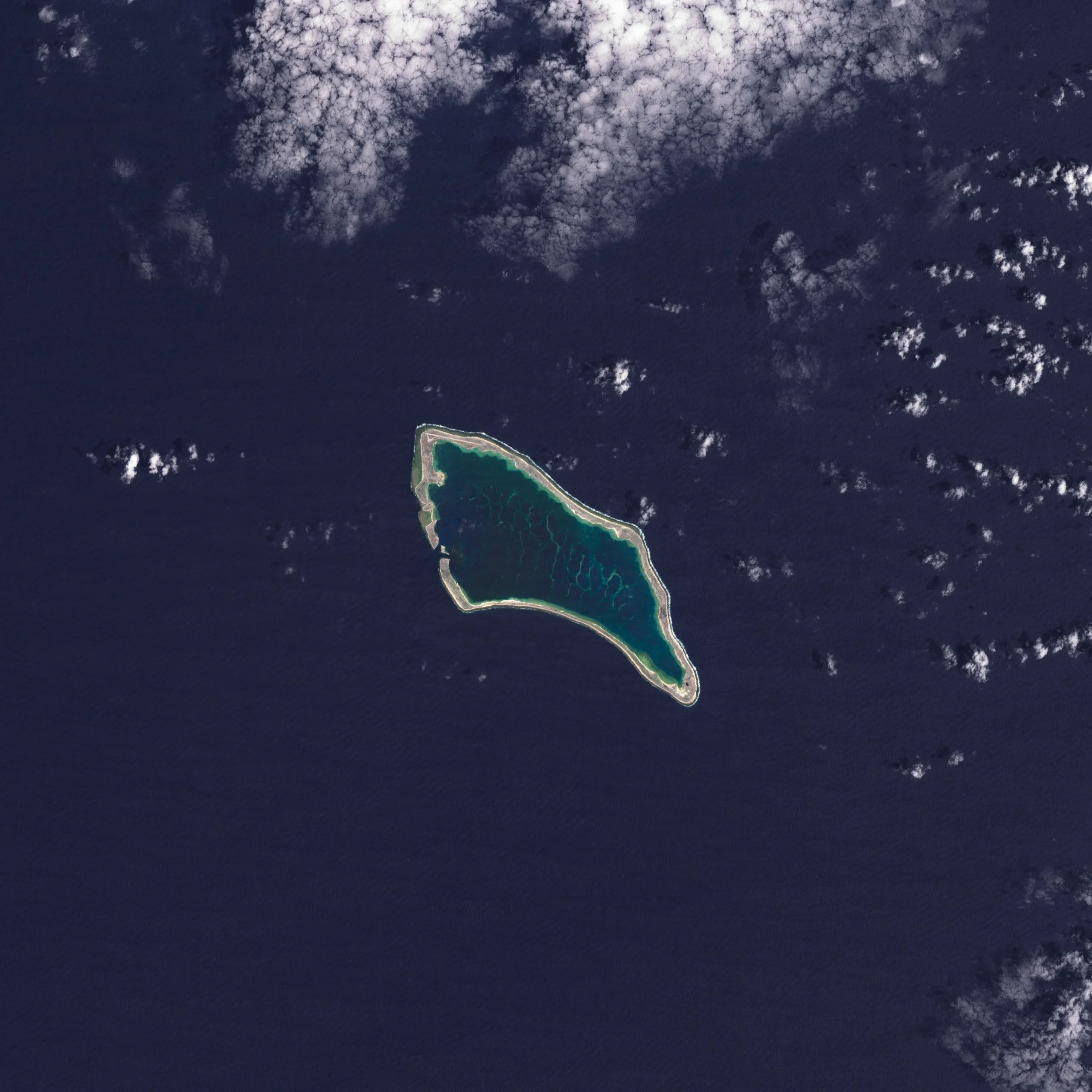
In the next 30 years, Pacific Island nations such as Tuvalu, Kiribati (pictured) and Fiji will experience at least 6 inches (15 centimeters) of sea-level rise, according to an analysis by NASA’s sea-level change science team. This amount of rise will occur regardless of whether greenhouse gas emissions change in the coming years. 

The sea level change team undertook the analysis of this region at the request of several Pacific Island nations, including Tuvalu and Kiribati, and in close coordination with the U.S. Department of State. 

In addition to the overall analysis, the agency’s sea-level team produced high-resolution maps showing which areas of different Pacific Island nations will be vulnerable to high-tide flooding—otherwise known as nuisance flooding or sunny day flooding—by the 2050s. Released on Sept. 23, 2025, the maps outline flooding potential in a range of emissions scenarios, from best-case to business-as-usual to worst-case. 

Image Credit: NASA Earth Observatory