
Tuesday, December 10th, 2019
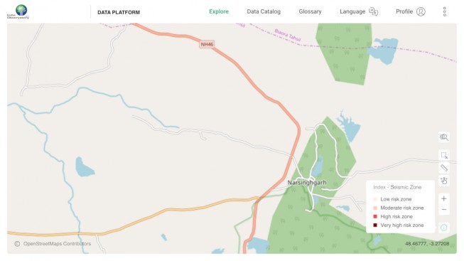
India Observatory, the country’s first socio, economic, ecological open-source integrated geospatial data platform, was launched at Hyderabad during the GeoSmart India conference. The observatory contains comprehensive information on India’s social, ecological and economic parameters on a single...
Tuesday, December 10th, 2019
LONDON - Schmidt Ocean Institute has come together with The Nippon Foundation-GEBCO Seabed 2030 Project for the joint signing of a Memorandum of Understanding to share all of its collected mapping data with the project. According to the...
Tuesday, December 10th, 2019
Pleasant Grove, UT - Fortem Technologies, the leading provider of airspace defense solutions for a drone world, announced today that it has been selected by NATO to demonstrate its SkyDome® Network defense platform. Fortem was identified for...
Tuesday, December 10th, 2019
WASHINGTON, Dec - To make geospatial information more accessible to data scientists who are working on global priorities like food insecurity, Radiant Earth Foundation has launched Radiant MLHub, the world’s first cloud-based open library dedicated to Earth...
Tuesday, December 10th, 2019
WATERLOO, Ontario - SkyWatch is excited to announce that the company was selected by the Canadian Space Agency (CSA) to complete Phase I of the Artificial Intelligence and Big Data Analytics for Advanced Autonomous Space Systems challenge in...
Monday, December 9th, 2019
Arunachal Pradesh State Remote Sensing Application Centre (SRSAC) and planning & investment department has been conferred with the ‘Geospatial Application Excellence Award’ for conceptualizing and designing a satellite-based monitoring and geo-tagging of development projects. Read More at...
Monday, December 9th, 2019
European Space Agency (ESA) member states have backed the continued development of the agency’s reusable Space Rider Spacecraft. The agency hopes to launch the maiden Space Rider mission aboard a Vega C as soon as 2022. Read...
Monday, December 9th, 2019
Hyderabad: India Observatory, country’s first socio, economic, open source integrated Geospatial data platform, was launched on Tuesday at Hyderabad in GeoSmart India conference. Read More at Times Of India
Monday, December 9th, 2019
The Jilin-1 Gaofen 02B satellite, which belongs to the Jilin-1 satellite family, is launched with Kuaizhou-1A (KZ-1A) from the Taiyuan Satellite Launch Center in north China's Shanxi Province Dec. 7, 2019. The new optical remote sensing satellite...
Monday, December 9th, 2019
Jointly built by Herzliya Science Center and Sha’ar HaNegev High School students, the satellite is designed to help children “observe the Earth”. Three youngsters from an Israeli school will travel to India next week to launch a...