Leica Chiroptera 4X bathymetric data with Leica OC60 screen visualising objects in near real-time during the flight
(Jönköping, Sweden) Hexagon’s Geosystems division announced today a partnership with Airbus to integrate two Leica Chiroptera 4X bathymetric LiDAR sensors for maritime surveillance into the C295 MSA, Airbus’ Maritime Surveillance Aircraft.
Hexagon’s new technology enables detection of underwater objects in near real-time, a significant innovation in the airborne bathymetry industry. The cutting-edge solution was developed to meet Airbus’ requirements and will first be implemented in two C295 MSA purchased by the Irish Air Corps (IAC). The unique object detection feature enables real-time LiDAR data visualisation and analysis during the flight. Being able to locate the precise position of the object allows operators to preview and analyse information captured below water immediately — a process which previously could take up to several days.
“We are delighted to announce the innovative application of the Chiroptera 4X sensor which now identifies small, submerged objects close to real-time, making bathymetric object detection faster than ever before,” says Anders Ekelund, VP for Bathymetric LiDAR Sensors at Hexagon. “With this latest innovation, we are expanding our current system, adding significant capabilities for the maritime surveillance industry, and introducing new applications for airborne bathymetry.”
“We are excited to install the Chiroptera 4X bathymetric LiDAR sensor with the new object detection technology into our C295 MSA. The partnership with Hexagon enables us to provide a new, innovative and integrated LiDAR solution to the Irish Air Corps,” says Alejandro Cabezas, Mission System Engineer at Airbus. “With the combined bathymetric and topographic LiDAR, we see enormous potential in the Chiroptera 4X system to be an efficient application for our customers.”
“When we acquired the C295 MSA, we explored various sensors to be added to our fleet, including bathymetric and topographic LiDAR. Airbus introduced us to the Chiroptera 4X which now meets all our requirements,” says Stephen Connolly, Captain of the Irish Air Corps. “The combined bathymetric and topographic LiDAR sensor will provide us with more details than ever before. Detecting objects close to real-time and having a clear picture of underwater activities will allow us to report directly to the Mission Support Centre on the ground and act faster to perform our duties more efficiently. The Chiroptera 4X will provide an overall better solution for the coastal maritime domain.”
The Irish Air Corps will be the first to utilise the new technology once both C295 MSA are equipped with the Chiroptera 4X LiDAR sensor and with the near real-time detection application. The aircraft are due for delivery to Ireland in Q2 2023.

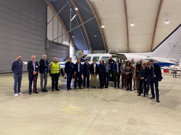
Airbus and Irish Air Corps visited Hexagon’s R&D and production facility in Jönköping, Sweden, in September for the factory acceptance test
For further information, visit: https://leica-geosystems.com/products/airborne-systems/bathymetric-lidar-sensors/leica-chiroptera
About Hexagon
Hexagon is a global leader in digital reality solutions, combining sensor, software, and autonomous technologies. We are putting data to work to boost efficiency, productivity, quality, and safety across industrial, manufacturing, infrastructure, public sector, and mobility applications.
Our technologies are shaping production and people-related ecosystems to become increasingly connected and autonomous — ensuring a scalable, sustainable future.
Hexagon’s Geosystems division provides a comprehensive portfolio of digital solutions that capture, measure, and visualise the physical world and enable data-driven transformation across industry ecosystems.
Hexagon (Nasdaq Stockholm: HEXA B) has approximately 21,000 employees in 50 countries and net sales of approximately 3.8bn EUR. Learn more at hexagon.com and follow us @HexagonAB.