Supergeo Technologies Inc., the global geospatial software and solution provider, together with Allwavetech Inc., Supergeo’s reseller in South Korea, announces that mapping company Taeyoung Information Systems has chosen Supergeo’s desktop software for GIS data processing.
Taeyoung Information Systems is a Korean corporation focused on providing fine quality digital maps for public sector applications and has extensive experience in producing topographic maps like terrain maps and road maps. This professional mapping company chose SuperGIS Desktop as it is an ideal platform designed to solve various geospatial tasks, such as digitizing geospatial data, calculating topological relations and analyzing spatial patterns. SuperGIS Desktop offers several tools that can help cartographers convert and map data with ease. The data management function is composed of three tools, the Data Manager, the Data Rectifier and the Data Convertor.
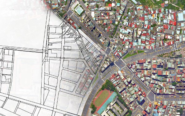
Data Manager helps users to manage metadata and export data from various geodatabases. Data Rectifier assists users to adjust the offset coordinates so that different layers can overlay correctly. And finally, Data Convertor allows users to convert several common data formats from one to another, which offers extra convenience while processing data from diverse sources. With SuperGIS Desktop, cartographic experts can handle geospatial digitizing, data management and map creation in an easy and efficient way.
