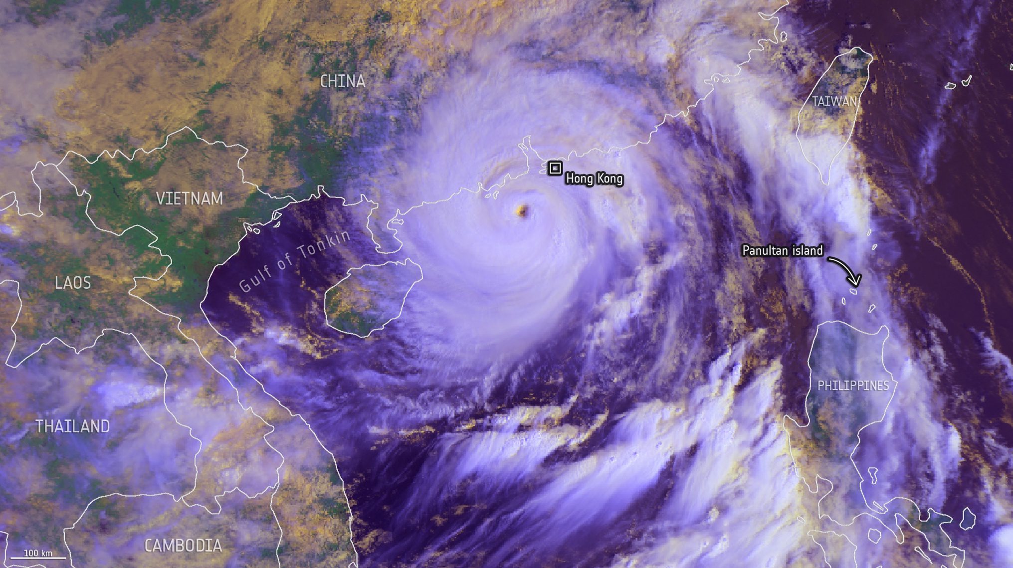
Captured on Sept. 24, 2025, by EUMETSAT’s MetOp-B satellite, this image shows Typhoon Ragasa swirling south of Hong Kong. Days earlier, Ragasa struck the northern Philippines with winds reaching 295 km/h, causing evacuations, power cuts and widespread disruption. Having since weakened from super typhoon status, it has made landfall in southern China and moved west-northwest.
Image Credit: EUMETSAT/METOP-B, AVHRR RGB Cloud Daily Accumulated, 2025, processed by ESA
