Asian Surveying & Mapping
Breaking News
Japan Eyes Sovereign D2D Satellite Network
Japan plans to select a proposal this month for...
China schedules Long March 10B rocket launch and recovery attempt
HELSINKI — China is set for a debut flight...
BRICS space agencies meet begins in Bengaluru
Heads and senior representatives of the space agencies of...
“India’s growing space ecosystem to drive global collaboration”, says ISRO Chairman V Narayanan after BRICS Space Agencies Meeting
"India's growing space ecosystem to drive global collaboration", says...
UAE aims to see Emirati on Moon in next 10 years, says MBRSC chief
UAE expects to have a presence on the Moon within...
Safran, SatSure partner to develop geospatial intelligence solutions for India
French aerospace giant Safran Electronics & Defense and Indian...
Singapore unveils road map to help develop international business standards and conformance
Singapore has unveiled plans to help develop international standards...
Adelaide University to run space and defence venture launchpad ahead of Australian Space Forum
Adelaide University’s Innovation & Collaboration Centre (ICC) will deliver...
Japan’s H3 rocket returns to space with successful launch after December setback
Japan’s flagship H3 rocket has returned to flight six...
KONGSBERG accelerates seabed mapping developments with Ocean Exploration Trust expedition aboard Exploration Vessel Nautilus
KONGSBERG and the Ocean Exploration Trust (OET) are set...

July 22nd, 2025
NASA, ISRO Earth Satellite Mission Set to Launch July 30 from India 

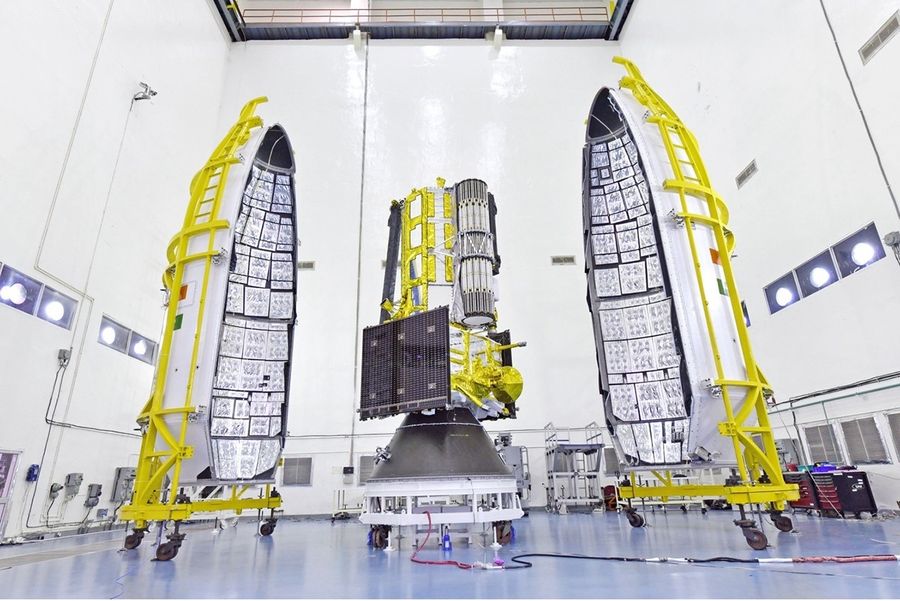
NASA and the Indian Space Research Organisation have set the launch readiness date for the NISAR (NASA-ISRO Synthetic Aperture Radar) mission for no earlier than July 30, 2025.  

The Earth-observing satellite, which will be the first to carry L- and S-band radars, is set to lift off aboard an ISRO Geosynchronous Launch Vehicle from ISRO’s Satish Dhawan Space Centre in Sriharikota on India’s southeastern coast.  

NISAR will scan nearly all of Earth’s land and ice surfaces twice every 12 days. The mission will measure changes in the planet’s terrestrial ecosystems; growth and retreat of its ice sheets, glaciers and sea ice; and tectonic deformation of its crust. The data will be accessible to all users across a range of disciplines, with potential applicability in disaster response, infrastructure monitoring and agricultural decision support. 

Image Credit: ISRO