Asian Surveying & Mapping
Breaking News
ISRO to resume SpaDeX experiments from March 15
The SpaDeX mission was launched on Dec 30 last...
Rocket Lab’s Ambitious Leap and Australia’s Bold Launch: A New Era of Space Exploration Begins
On the forefront of cosmic ambition, Rocket Lab makes...
UAE’s Etihad-SAT satellite set for March 2025 launch
Dubai: The Etihad-SAT project, an advanced Synthetic Aperture Radar...
Astroscale Wins Responsive Space Deal for Japanese MoD
Astroscale has made a breakthrough in the security and defense...
China to send Pakistani astronaut as first foreign guest to its space station
Beijing/Islamabad, China plans to send an astronaut from its...
ISRO’s space launch foray
Next month, the Indian Space Research Organisation (ISRO) will...
News Dubai Loop: A new underground project will change travel in Dubai
Say goodbye to sitting in Sheikh Zayed Road traffic:...
PM Modi Says ISRO, NASA’s Satellite Will Soon Fly Into Space
During his recent visit to the United States, Prime...
China wants Bangladesh to rewrite geography, alter India’s map
China is back at it again. According to reports,...
Japan launches navigation satellite on nation’s 1st mission of 2025
An H3 rocket launched the Michibiki 6 spacecraft from Tanegashima Space Center...

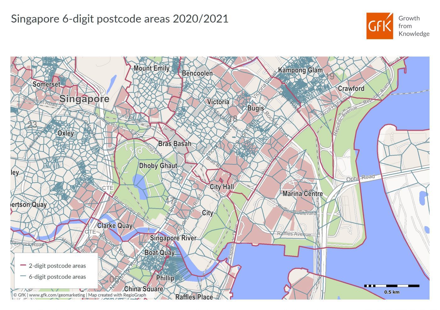
GfK released a new and completely overhauled digital map edition for all of Asia. The edition features coverage of 49 countries, ranging from the three BRICS nations Russia, India and China to smaller countries such as Bahrain and the Maldives. The digital maps depict the latest status of administrative and postal regions, and are used for accurate location-based market analyses.

GfK’s new Asia Edition 2020/2021 includes digital maps for all of Asia, which reflect the latest regional status and feature several new details and regional levels. Due to boundary adjustments related to newly created or dissolved regions, changes occurred in most Asian countries. The new maps also offer a higher level of detail for many countries, especially along coastlines and in cities. GfK’s digital maps of postcodes and administrative regions such as provinces and municipalities comprise the basis for precise spatial analyses.