Asian Surveying & Mapping
Breaking News
Australian Space Agency funds development of aerospace-grade GNSS receiver
The Australian Space Agency has funded the development of...
Continuity risks for Australian EO data access
A new report details the widespread use of Earth...
China launches new remote sensing satellite
JIUQUAN, April 15 (Xinhua) -- China on Monday launched...
7.4-Magnitude Earthquake Strikes Taiwan
A major, 7.4-magnitude earthquake struck the eastern coast of...
Tata Deploys Its Geospatial Satellite In Space on Space X’s Falcon 9 Rocket
THIRUVANANTHAPURAM: Tata Company launched India's first private commercial satellite...
Taiwan’s Formosat-8 Satellite Set for Launch by 2025
The Taiwan Space Agency has announced progress on the...
Iranian Scientists to Build Satellite Constellation for 2 Simultaneous Missions
The scientists at the knowledge-based company had previously succeeded...
China provides geospatial intel and other military support to Russia, US says
The US has warned its European allies that China...
Japanese lunar lander company ispace raises $53.5 million in stock sale
WASHINGTON — Japanese lunar lander developer has raised $53.5...
Esri and Prince Sultan University Advance GIS Education Through Strategic Partnership
Memorandum of Understanding with Institution Enhances GIS Curriculum and...

February 27th, 2018
ISRO Develops MSETCL GIS Portal

image

The central Regional Remote Sensing Centre (RRSC-C)/ISRO at Nagpur develops a web-based GIS Portal in collaboration with Maharashtra State Electricity Transmission Company Ltd. (MSETCL) Mumbai toward spatial integration of information on Electrical Transmission Infrastructure. The RRSC-C was established by the Department of Space in 1986-87 to cater to a wide variety of users in central Indian states of Maharashtra, Madhya Pradesh and Chhattisgarh to tackle the resources and environmental problems of the region using space technology. The center also works toward facilitating remote-sensing data analysis by the users and establishing strong linkages for the promotion and operationalisation of remote sensing applications in the region.

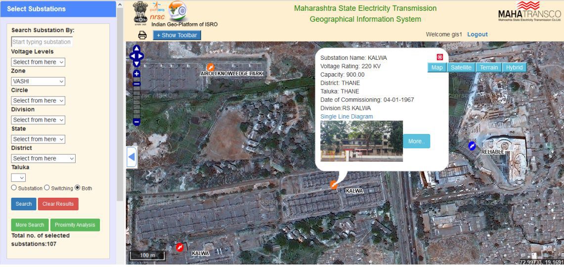
With its Web GIS Portal, officials of MSETCL are able to visualize their data in a spatial domain along with geospatial analysis tools to generate reports based on various selection criteria.