
Tuesday, September 4th, 2018
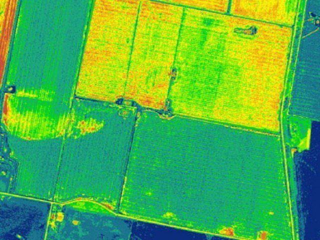
Pakistan has become world’s first country to use multi-spectral imagery from the Sentinel 2A satellite to prepare crops mapping. The technology will be used to determine the type and health of crops, moisture in the soil, and...
Tuesday, September 4th, 2018
Head of the Egyptian-Russian Foundation for Culture and Science, Hussain al-Shafei announced on Friday that the Russian State Corporation for Space Activities, Roscosmos, is currently testing a new Egyptian remote sensing satellite (EgyptSat A), projected to be...
Tuesday, September 4th, 2018
LAHORE – Pakistan has become world’s first country to use the multi-spectral imagery technology through a remote sensing via Satellite Sentinel 2A to prepare crops mapping. Read More at Daily Pakistan
Tuesday, September 4th, 2018
KhalifaSat, the UAE Earth observation system that is also the first Emirati-built satellite, will be launched from Japan on 29 October 2018. Read More at SpaceWatch
Tuesday, September 4th, 2018
On October 29, at precisely 8.08am (UAE Time), the first satellite to be built entirely by a team of Emiratis, will be launched from Japan's Tanigashima Space Centre, according to top officials. Read More at Khaleej Times
Tuesday, September 4th, 2018
Australia's newly stood up space agency has signed a partnership with its French counterpart, with both parties hoping to advance the development of their respective space programs. Read More at ZD Net
Tuesday, September 4th, 2018
After a brief five months hiatus, Indian Space Research Organisation (ISRO) is readying for 19 launches, including the Chandrayaan-2 mission, starting from this month. Read More at Economics Times
Tuesday, September 4th, 2018
MIDDLETOWN, R.I. - Singtel and KVH Industries, Inc., (Nasdaq: KVHI), a global satellite and maritime communications provider, today announced a partnership to provide shipping companies a seamless broadband satellite service with KVH’s mini-VSAT BroadbandSM satellite connectivity to...
Tuesday, September 4th, 2018
Frankfurt am Main/Karlsruhe: The EUROPEAN DRONE SUMMIT (EDS2018) is the first European conference at which operators, manufacturers and public authority representatives will discuss the potential modes of operation and applications that are opening up for professional drone...
Tuesday, September 4th, 2018
BERLIN - TomTom (TOM2) today announced the launch of the TomTom GO Essential – a feature-packed, connected sat nav with hands-free calling, voice control, compatibility with Siri voice recognition software and Google Now™ service, fully interactive screen...