
Tuesday, May 31st, 2011
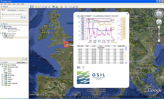
The Falcon (standalone), and Falconet (integrated) Data to Web system provides a low-cost and flexible solution to transmit, store, host and present data from all common sensors to a dedicated website in real time.
Tuesday, May 31st, 2011
SuperGeo Technologies is going to showcase SuperPad 3, its full-function mobile GIS software, during Computex Taipei. Computex Taipei is the largest computer exhibition in Asia. Mio Technology, one of the chief providers in the mobile GPS industry...

Tuesday, May 31st, 2011
SuperGeo Technologies announced that SuperGIS Server 3 supports KML (Keyhole Markup Language) map service publishing and assists enterprises in improving map sharing and display performance.
Tuesday, May 31st, 2011
SimActive Inc. is pleased to announce that HyVista Corporation has acquired its Correlator3D photogrammetry software. The transaction was brokered by Credent Technology Asia Pte Ltd., SimActive’s partner in South East Asia and Australia.
Tuesday, May 31st, 2011
Agency9, the leading provider of web based 3D solutions, today released their cloud service CityPlanner 2.0 internationally. Agency9 CityPlanner is a web service that empowers project managers, planners and architects to visualise and interact with 3D models...

Tuesday, May 31st, 2011
Leica Geosystems today announces several updates for a range of Ag guidance products. Compatibility with the SteerDirect hydraulic kit solution continues to grow with another four series of tractors added. Autospray with Direct Section Control for Amazone...
Tuesday, May 31st, 2011
RapidEye announced today that Cambodia and Laos-based Aruna Technology is now part of its growing
distribution network. As part of the agreement, Aruna's territory will be Vietnam, Laos, Cambodia, Thailand and Myanmar. John Ahlrichs, Vice President of Distributor Sales at...
Monday, May 30th, 2011
The East Sea is a semi-enclosed sea in the Pacific Ocean, covering an area of over 3.5 million sq. km. It is bordered by nine coastal countries, namely Vietnam, China, the Philippines, Malaysia, Brunei, Indonesia, Thailand, Cambodia...
Monday, May 30th, 2011
A team of CSIRO Future Manufacturing Flagship scientists has won a major mining industry award for the invention of the highly sensitive magnetic field sensor which sits at the operational heart of the mineral exploration tool, LANDTEM.
Monday, May 30th, 2011
Qualcomm Incorporated announced the Company’s product support for the Russian GLONASS satellite system and the unique capability to utilize both the GPS and GLONASS networks simultaneously for greater location performance. The additional signals from this expanded satellite...