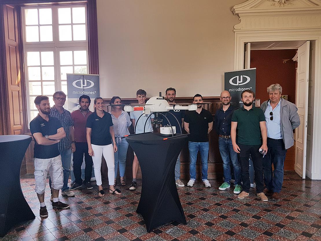
Geomesure, the official distributor of Trimble topographical equipment in the South and West of France, has announced they are now offering Microdrones UAV solutions in France. Geomesure has more than thirty years’ experience of supporting the surveying service industry in the region, and offers a wide range of Trimble topographical and 3D scanning equipment. The company prides itself on a second-to-none customer experience and provides extensive training, support and after sales service.
Lilian Degand, Chairman of Geomesure, is excited to add Microdrones mdSolutions to the product catalog. He says, “Geomesure’s customers appreciate this new offering. Our customers see the drone as a complementary tool to our laser scanning and GeoSLAM systems.”
Geomesure has been a longtime leader in the industry thanks to its focus on new technology, business development, and outstanding service. “We are well known to be service oriented, and our sense of advice is recognized,” Lilian explains. “After years of existence, we have proved that we don’t simply make promises—we bring our market a unique offer with a complete solution. Our goal is to identify new technologies that break rules and introduce them in a successful way with our service-oriented DNA.”
Lilian points out that adding Microdrones solutions to its product offerings is unique due to the unprecedented collaboration unifying Microdrones with Trimble TBC/ Realworks Survey and Geomesure’s expert support and training. Expects that the new products will be well-received by customers. The Microdrones range of products exemplify innovation through DG and Lidar and seamless workflow with TBC.
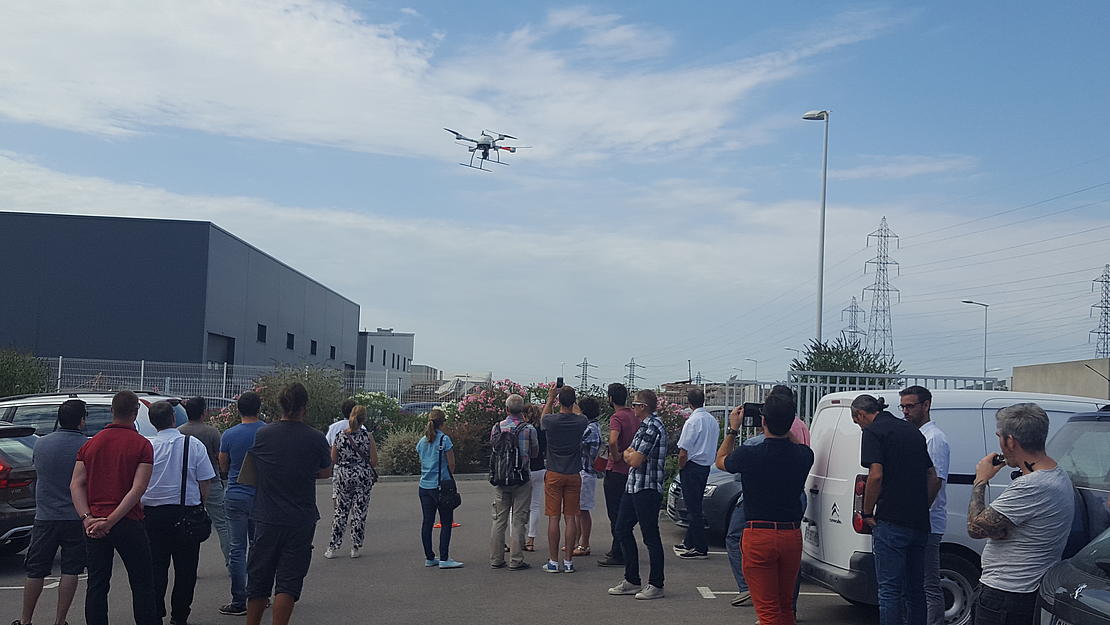
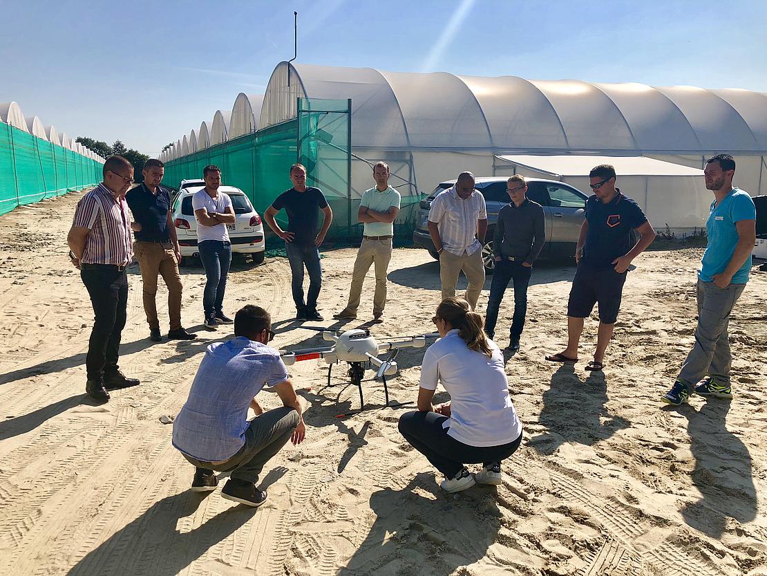
The Geomesure team will encounter 30 different companies with topographer and geometer profiles during its mdMapper demonstration roadshow—an excellent opportunity to validate the optimal outcomes provided by the DG. Geomesure was in Nantes on July 10, Bordeaux on July 11 and Montpellier July 12.
For more information about Geomesure, visit http://www.geomesure.fr/
Want to learn more about making integrated drones a part of your geomatics work? Click here to start the conversation.
