Supergeo Technologies Inc., the global geospatial software and solutions provider, is pleased to announce that the fully functional GIS software- SuperGIS Desktop 10 was selected by Amilna Komputasi Awan to process spatial data.
Located in Jakarta, Indonesia, Amilna is a company dedicates to providing various services for web development. Other than general website design, hosting, and management, Amilna also develops specific web applications for customers, including ERP, Referral Marketing System, and also web GIS.
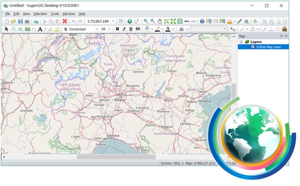
As one of the core products of Supergeo, SuperGIS Desktop is a desktop GIS platform that offers various practical features to serve GIS users from different domains. SuperGIS Desktop 10, the major upgrade version released recently, not only has a brand-new user interface but equips with more powerful tools for advanced spatial data display and processing. For example, the new LiDAR Tool can help users to integrate LiDAR data into GIS platform, Image Analyzer provides various options for raster data processing, Mapnote, and Dimension Tool can enrich the maps with detailed information, etc. For developing web GIS applications, SuperGIS Desktop can generate both traditional and vector map tiles with Cache Generator, which will significantly reduce the size of data, save time for data transmission, and enhance the user experience. The created map tiles can be published to the internet by SuperGIS Server, so we can share geospatial data with other people easily.
On Nov. 23, Supergeo will host a new SuperGIS Webinar, which the topic will focus on how to apply mobile GIS and server GIS to build a utility solution. Please join us and find out how SuperGIS can boost your fieldwork efficiency.
Register SuperGIS Webinar in 2 minutes:
http://www.supergeotek.com/support_ComingWebinars.aspx?Type=Upcoming&ID=1535
Get a free trial of SuperGIS Desktop 10 now:
http://www.supergeotek.com/download_6_desktop.aspx