Asian Surveying & Mapping
Breaking News
Australian Space Agency funds development of aerospace-grade GNSS receiver
The Australian Space Agency has funded the development of...
Continuity risks for Australian EO data access
A new report details the widespread use of Earth...
China launches new remote sensing satellite
JIUQUAN, April 15 (Xinhua) -- China on Monday launched...
7.4-Magnitude Earthquake Strikes Taiwan
A major, 7.4-magnitude earthquake struck the eastern coast of...
Tata Deploys Its Geospatial Satellite In Space on Space X’s Falcon 9 Rocket
THIRUVANANTHAPURAM: Tata Company launched India's first private commercial satellite...
Taiwan’s Formosat-8 Satellite Set for Launch by 2025
The Taiwan Space Agency has announced progress on the...
Iranian Scientists to Build Satellite Constellation for 2 Simultaneous Missions
The scientists at the knowledge-based company had previously succeeded...
China provides geospatial intel and other military support to Russia, US says
The US has warned its European allies that China...
Japanese lunar lander company ispace raises $53.5 million in stock sale
WASHINGTON — Japanese lunar lander developer has raised $53.5...
Esri and Prince Sultan University Advance GIS Education Through Strategic Partnership
Memorandum of Understanding with Institution Enhances GIS Curriculum and...

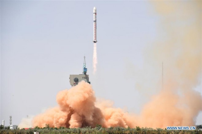
On June 2, 2018, China launched a new Earth observation satellite, Gaofen-6, which will be mainly used in agricultural resources research and disaster monitoring. The Gaofen-6 was launched on a Long March-2D rocket from the Jiuquan Satellite Launch Center in northwest China. A scientific experiment satellite named Luojia-1 was sent into space at the same time. It was the 276th mission of the Long March rocket series.

Weighing 1,064 kilograms and with a designed life of eight years, Gaofen-6 has a similar function to that of Gaofen-1 satellite, but with better cameras. Its high-resolution images can cover a large area of the Earth, according to the State Administration of Science, Technology and Industry for National Defence.

Gaofen-6 can observe chlorophyll and other nutritional content of crops as well as help estimate yields of crops such as corn, rice, soybeans, cotton and peanuts, said Tong Xudong, chief engineer of the Gaofen series satellites. (Photo Credit: Xinhua)