Thursday, September 15th, 2011
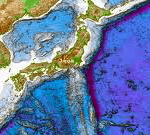
Earlier this week, China announced that it will increase it's level of seabed mapping and surveying. These operations aim to describe seabed geology, water depths and the location of features and objects. Surveying of the waters and...
Monday, March 7th, 2011
The Australian Navy is mapping the seafloor around what will become one of Papua New Guinea's most important ports. For the last two weeks the hydrographic ship, HMAS Leeuwin, has been surveying Caution Bay near Port Moresby. The...