
The new system combines latest imaging and LiDAR with a configurable design to improve acquisition efficiency by 30% across multiple applications
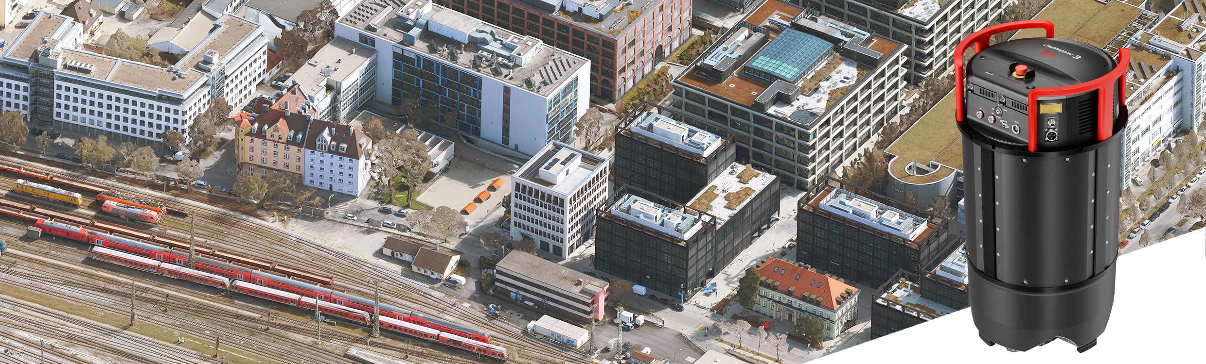
Heerbrugg, Switzerland (28 January 2026) – Leica Geosystems, part of Hexagon, today announced the Leica CityMapper-3 airborne hybrid system. The new solution is designed to improve operational efficiency by combining the latest imaging and LiDAR technologies within a single, configurable platform, streamlining data acquisition across demanding urban and regional mapping applications.
Improved efficiency through configurable imaging and LiDAR
On the imaging side, CityMapper-3 is the first CityMapper to feature a Leica MFC250-based camera system, powered by Sony’s IMX811 sensor, delivering up to a 30% increase in acquisition efficiency compared to previous generations. The new multi-configuration architecture enables the swath width and resolution to be tailored to specific flight altitude and project requirements, while improved nadir and oblique performance allows details to be captured from every angle with greater precision, supporting deliverables from digital twins to 2D ortho imagery.
The imaging system is complemented by the Leica Hyperion3+ LiDAR module, which offers the same level of configurability, with scan patterns optimised for different terrain types and mission profiles. Imaging and LiDAR are tightly aligned within a single system, working together to deliver consistent, application-ready data in fewer flights.
Versatility without compromise
CityMapper-3 addresses a growing market demand for airborne mapping solutions capable of adapting quickly to multiple use cases, without compromising data quality.
“With its third generation, we’ve taken the CityMapper hybrid sensor to an entirely new level,” says Werner Kirchhofer, Vice President Product Development, Airborne Sensors Business Unit, Scanning & Mapping Division, Hexagon. “We focused on increasing performance and giving customers complete flexibility in how they configure imaging and LiDAR for each mission. Customers can cover all use cases with one system, while continuing to rely on the data quality they expect from Leica Geosystems.”
For more information, visit: https://leica-geosystems.com/products/airborne-systems/hybrid-sensors/leica-citymapper-3
For further information, please contact:
Cristina Mauri, Product Marketing Manager, Airborne Sensors, Scanning & Mapping Division, Hexagon
Phone: +41 41 727 8948
Email: [email protected]
