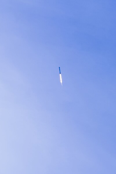
BROOMFIELD, Colo. – BAE Systems (LON: BA) is celebrating alongside its customers at the Environmental Defense Fund (EDF) following the successful launch of the MethaneSAT satellite from Vandenberg Space Force Base in California today. The satellite will provide the public with reliable scientific data about the sources and scale of methane emissions globally, with the ultimate goal of driving reductions in the near future.
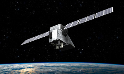
MethaneSAT’s primary instrument includes a BAE Systems-built spectrometer that will identify and quantify methane emissions by measuring the narrow part of the infrared spectrum where the gas absorbs light reflected off the Earth. The satellite will monitor emissions from the oil and gas sector, which accounts for about 40% of all human-caused methane emissions, and it will be able to revisit the same sites daily in most instances.
MethaneSAT will also fill a gap in existing remote methane monitoring capabilities, offering high-precision emissions mapping over a broad 200km by 200km field of view. This satellite will further complement existing methane-monitoring satellites that focus on either larger scales or detecting point sources.
“MethaneSAT will make a critical difference in helping us better understand and remedy global greenhouse gas emissions,” said Dr. Alberto Conti, vice president and general manager of Civil Space for BAE Systems Space & Mission Systems. “MethaneSAT will advance our ability to identify and track emissions from their source, empowering stakeholders and the public with actionable data to enable reductions. We are thankful to our customers at the Environmental Defense Fund for developing this crucial mission, and we look forward to seeing all the change it will bring.”
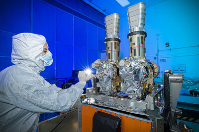
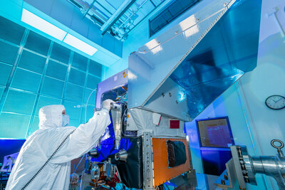
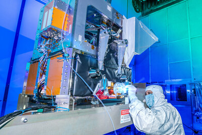
BAE Systems worked alongside scientists from EDF and MethaneSAT, LLC, to design and build the primary instrument. The company also led spacecraft integration, environmental testing, and will provide commissioning services. Once commissioning is complete, EDF will launch a cloud-based platform in partnership with Google to distribute MethaneSAT data publicly and free of charge, ensuring the data will be easily accessible for all.
“MethaneSAT is a unique instrument with demanding specifications,” said Peter Vedder, senior director for mission systems at MethaneSAT. “It’s designed to see methane emissions that other satellites can’t, with unprecedented precision. BAE Systems helped us push the envelope to deliver a powerful new tool for protecting the climate.”
MethaneSAT launched on a SpaceX Falcon 9 rocket.
