LOS ANGELES – Los Angeles based TipTags, (www.tiptags.co) announced it has launched a mobile map-based system designed to enable ANYONE to create, share and access hyper-local information about navigating the post-COVID-19 world in hurricanes and other potential emergencies. The goal is to provide risk-mitigation & increased awareness thru transparency, placing potentially life-saving information in the hands of local Communities.

Despite stay-at-home orders, neighbors now have a way to keep each other informed about pandemic related topics such as testing, local outbreaks and PPE availability. With real-time, to-the-door accuracy, anyone can share first-hand knowledge about their local situation in a visual, map-based application using text, photos and links.
Originally created for NATO working with Harvard University researchers, TipTags created a collaborative crisis management system for use in the field to capture, preserve and share real-time, mission-critical data in conflict zones.
“While we weren’t planning a Community release of our app at this time, we recognized the urgency around the lack of reliable, real-time COVID-19 information, especially mapped at the neighborhood level.”, says TipTags CEO Tim Roberts. “This was a call-to-action for our team, knowing that our platform could help bring people together and reduce anxieties.”
Citizens, First-Responders, Government officials and Companies share the same dilemma, they have a hard time getting reliable, real-time data from human sources, and information is often siloed or difficult to interpret. TipTags allows users to access human intelligence directly from those who have the first-hand knowledge of conditions.
“We are also worried about Hurricane, Fire and Tornado season and the potential for disaster-forced evacuations to fuel any potential second-wave of the coronavirus.”, said TipTags CEO Tim Roberts. “Our ability to enable the gathering of and access to this granular-level information will help Healthcare providers, FEMA and Insurance companies to better address the needs of those displaced by disaster and exposed to increased coronavirus danger.”
About TipTags:
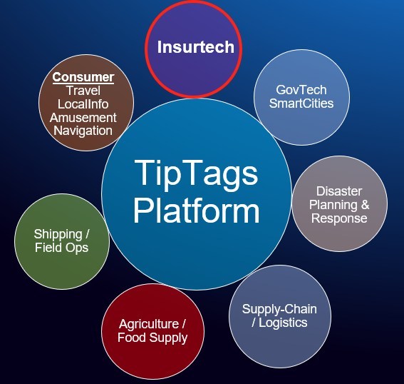
TipTags’ patented map-based data-collection system allows users to create, preserve and share any kind of information on any kind of map with extreme accuracy in real time. Thus, harnessing the power of granular, local knowledge to help decision-makers make better decisions. By creating operational transparency, our platform reduces costs, mitigates risk and improves efficiencies across organizations. The TipTags platform provides significant benefits across multiple verticals from GovTech and Supply-chain/Logistics to InsureTech and SmartCity applications.
TipTags was recently selected by the world’s leading startup innovation accelerator, Plug and Play, as a member of its Supply Chain Batch 7. They are working with PPE supply-chain participants to provide much needed transparency to ensure only qualified products reach frontline workers.
Currently developing product for the Department of Defense, the company is also working with Harvard University researchers on grant-funded projects supported by NATO and has been awarded an SBIR Grant as part of the AFWERX Cohort 20.1.