Effigis is proud to announce the worldwide launch of its new OnPOZ Collect and Cloud solution, for efficient geo-localized fieldwork data collection and management.
OnPOZ Collect is a powerful GIS mapping app that transforms a phone or tablet into a geospatial data collection tool. You will be ready for the field, whether you are completing an inventory assessment, infrastructure inspections, damage reporting, forestry projects or a variety of other project types. OnPOZ Collect is intuitive and easy to use. You can collect GIS features and attributes using intelligent data entry forms. Access our predefined templates, or easily create your own using the intuitive drag and drop interface.
Even in remote areas without internet access, you can keep working with web maps or your own maps. OnPOZ Collect supports EPSG projections, real-time GNSS and post-processing using our well-known EZSurv engine, which ensures the most accurate positioning.
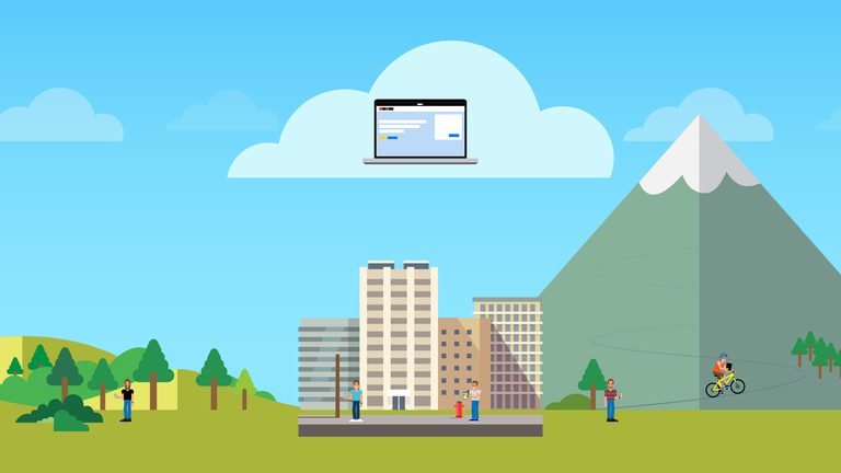
OnPOZ Cloud lets you manage your data and monitor field workers from anywhere via your favourite web browser. All projects and field data are synchronized and securely stored in the cloud. You can follow the progress of your projects directly on your office screen and view features as they are collected in the field without unnecessary delays. You can automate your routine tasks with our REST API and securely access them from another application or programming script.
“OnPOZ Collect and Cloud is a game changer for utility mapping and assets management. It allows reliable data collection and efficient teamwork, with all the features professional GIS and GNSS users require,” explains OnPOZ Sales Manager Stéphanie Gosselin.
OnPOZ’s R&D team remains at the forefront of technology and provides unparalleled customer service, making Effigis a trusted business partner.
We look forward to enhancing your data collection workflows. Visit cloud.onpoz.com and give it a try!
Contact:
Stéphanie Gosselin, OnPOZ Sales Manager
1-514-495-6500 ext. 125
1-888-495-6577
About Effigis
OnPOZ is developed and commercialized by Effigis Geo-Solutions (Effigis), a leader in geospatial information for more than 25 years. Effigis designs innovative, data-driven geospatial solutions for organizations worldwide, whose operational effectiveness rely on geodata analysis. The company serves numerous business sectors, including energy, aerospace, mining, oil and gas, engineering, forestry, and precision agriculture.
