NEWTON, MA (USA) – Caliper Corporation is pleased to announce that Maptitude 2017, a major release of Caliper Corporation’s popular GIS (Geographic Information System) and mapping software, is available now. The 2017 version provides the most up-to-date and accurate data available.
The Maptitude 2017 menu system redesign emphasizes user workflow. The new yet familiar interface streamlines the map making process. Consistent terminology, logical feature groupings, and direct access to critical tools result in a vastly improved user experience that builds on the reputation of Maptitude as the easiest to use professional mapping system.
The updated streets allow for accurate address locating and street visualization, directions, drive-time rings, and drive-time territories.
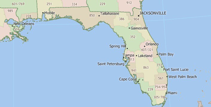
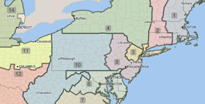
The boundaries (e.g., ZIP Codes, Counties, States) have updated demographics and Census data such as buying power/disposable income, banking compliance data, and the 2015 Census ACS data.
Maptitude 2017 also ships with the January 2017 ZIP Code release, ensuring that you are using the latest nationwide postal data and a new telephone area code layer.
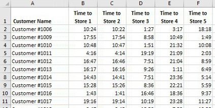
A new distance and drive-time tool creates an Excel table that lists the costs of travel between any number of origins and destinations.
If your vehicles have specified stop times in an Excel table, Maptitude 2017 can automatically apply them. Maptitude 2017 also allows you to specify a default stop time for all your destinations.
Maptitude dominates the space vacated by the discontinued Microsoft MapPoint. Maptitude 2017 now supports MapPoint territory files (*.ptm, *.est, *.axe) that do not have data columns or that have County and State information in separate columns.
For more information, please see the Maptitude 2017 New Features page. Please contact the Maptitude Sales Team with any questions.
Caliper Corporation develops state-of-the-art Geographic Information Systems (GIS) software. With a focus on usability, Maptitude is designed to be a cost-effective, professional mapping software product. Maptitude enables organizations to leverage their location-based data to improve decision making and planning, while minimizing expenditure through competitively priced solutions.
Caliper is a privately held corporation and is a leading developer of mapping, redistricting, transportation, and GIS software.
