Image
The National Geospatial-Intelligence Agency (NGA) has a new mindset when it comes to the examination and development of possible geospatial solutions.
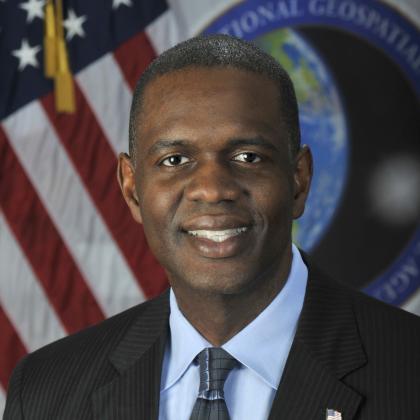
The new head of research, Ronzelle Green, stepped into his role at NGA in September from being the Atlantic Area Reserve Chief of Staff (and a captain) in the U.S. Coast Guard. Previously, Green was a senior advisor in the Maritime Expeditionary Security Group II, Navy Expeditionary Combat Command, was the chief information officer for the Defense Counterintelligence and Security Agency, where he led key digital transformation efforts, and was the director of Commonwealth Integration in the Office of the Undersecretary of Defense for Intelligence and Security.
In his new position, Green has made a clear shift to emphasize the transition of geospatial intelligence (GEOINT) solutions to the warfighter. The organization responsible for finding technology solutions for NGA’s toughest challenges through research is now called the Research and Development Directorate, a move approved about three months ago by NGA Director Vice Adm. Frank Whitworth, USN.
The moniker change reflects what is needed from the agency’s geospatial scientists in developing warfighter solutions for the future, as the U.S. military operates in a near-peer environment, Green told SIGNAL Media in a recent interview. As a combat support agency, the greater NGA must provide key imagery, intelligence and geospatial information to the Defense Department and the intelligence community. This information is becoming all the more vital as our adversaries are investing significantly in new geospatial intelligence technologies.
“We changed the name to NGA’s Research and Development Directorate to show that there is an input and then also an output,” Green explained. “[It is really about] accelerating how we go from this science and research, to operations, to the mission. We decided to change the name to show that process. And even over the last couple months, we have really been focused on the GEOINT hard problems for the GEOINT community, and actually building our R&D around those hard problems, to deliver results for our mission users and our warfighters. So, we are pretty excited about the name change, and just the philosophy change in what we do, delivering real operational outcomes.”
Green is no stranger to the intelligence community and the NGA, having been in the agency in various joint duty assignments since 2000. As such, he understands the threat environment and is also setting a course for the directorate’s visionary priorities, looking now at what will be needed five or 10 years down the road.
“As we make sure our organization fits around what is important to the nation in research. … We also have a visionary set of priorities,” Green noted. “I’m a firm believer that we hire smart people to tell us what to do, looking five, eight, 10 years ahead, some of these capabilities that we will need. The great thing about our directorate is that we have R&D scientists that are absolute experts in their field, not just in the U.S. government, but they’re experts in the world on geospatial, analytics, cyber, AI, ML. It is about, ‘How do we leverage their thoughts and their intellect and making sure that we’re supporting national security priorities?’”
Our goal is from the R&D perspective is delivering cutting-edge geospatial technology to support national security objectives, and how do we move faster from R&D to operations.
The R&D Directorate will continue to make inroads in data science, sensing, AI and ML capabilities directly related to the threat environment. “We still have our foundational missions of knowing the earth and understanding its features but also how do we understand lots of data and lots of information coming to our handlers and our users?” he explained.
Some of that R&D will focus on fixing that information together with other intelligence disciplines, or INT—such as Open Source Intelligence (OSINT)—combining information together to find the operational relevance.
“Our goal is from the R&D perspective is delivering cutting-edge geospatial technology to support national security objectives,” Green said. “How do we move faster from R&D to operations to make sure that we have those advantages? In our R&D world here at NGA, we have the mantra of explore, prove and deliver. Explore new technology, and then go through a rigorous process to actually prove that technology to see if it accomplishes what we need to accomplish, and then actually deliver into the operational baseline.”
