Data collected with TOPODRONE LiDAR 200+ over the Surduc Dam (c) TOPODRONE
TOPODRONE, a Swiss based designer and manufacturer of high-precision surveying equipment, and Graphein, an EU service integrator for the construction industry, recently had a use case on the Surduc Dam inspections with the aerial TOPODRONE LiDAR 200+. The collected data is applied by the local Romanian dam managers to improve monitoring of the dam and its surroundings.
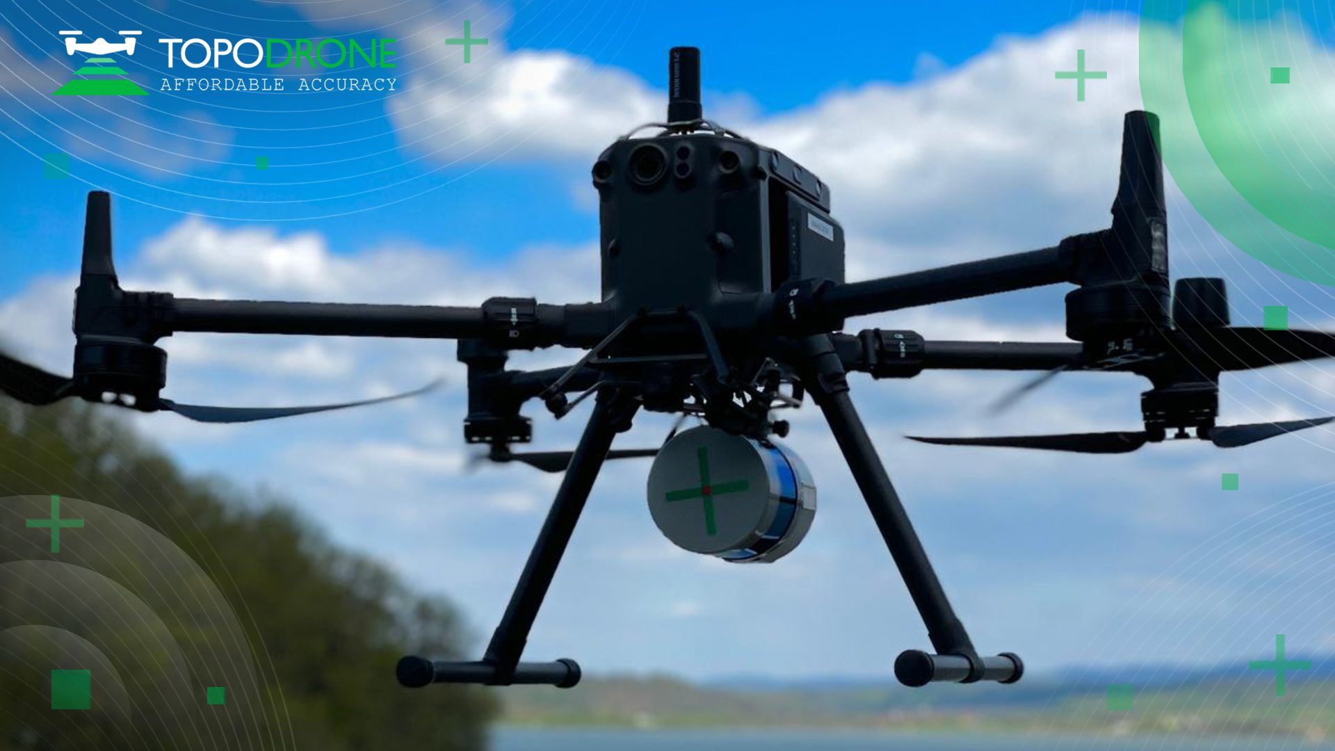
The flight of DJI M300 equipped with TOPODRONE LiDAR 200+ (c) TOPODRONE
The Surduc Dam is a vital piece of the European infrastructure, supplying Timișoara – the 2023 European Cultural Capital – with both drinking and industrial water. Nestled at an elevation of 195 meters above sea level, the dam plays a pivotal role in energizing a micro-hydropower plant boasting a capacity of 2MW.
The survey of the dam was conducted in spring 2023 by 2 Graphein team members. The project took 2 days: one day for data collection with DJI M300 equipmed with TOPODRONE LiDAR 200+ and P61 camera & one day for data processing with TOPODRONE Post-Processing software in the office.
‘UAV dam surveys improve inspection safety and efficiency. It is a fast and precise way of mapping to support dam managers with assessing the dam face for abnormalities or degradation. The accuracy of models obtained by drone surveys advance vulnerability analysis’, Iliya Shikov, TOPODRONE CTO, explains.
‘It is one of the latest projects Graphein has contributed to in Europe. In order to obtain the best results for our client – as fast as possible without damaging the quality of our outcome – we’ve relied on TOPODRONE technical solutions, in particular the new LiDAR 200+. It has helped us acquire relevant information, very rich detail wise, and later deliver dense point clouds and orthophotos’, Andrei Șueran, Graphein’s managing partner, adds.
Earlier this year TOPODRONE released TOPODRONE Slam 100 for mobile mapping and a new lightweight 360° LiDAR model range: LiDAR 100 & 100+ with a 100 m working flight altitude and LiDAR 200+ with a 200 m working flight altitude. All of them can be used as a single payload for different carriers and installed on a drone, car and backpack. The products will be showcased at Commercial UAV expo in Las Vegas (USA) in September and at Intergeo in Berlin in October.
About TOPODRONE
TOPODRONE is a Swiss based designer and manufacturer of high-precision surveying equipment for installation on UAVs, vehicles and backpacks. TOPODRONE’s hardware (LiDARs, high resolution cameras and PPK) are used for mapping and 3D modeling. Application areas include but are not limited to forest and agricultural monitoring, construction and urban planning, and bathymetry. TOPODRONE’s advanced post-processing software provides users with easy-to-use innovative data processing workflows for automatic data generation, georeferencing and alignment using GNSS and IMU data post processing, and SLAM algorithms. For more information, visit topodrone.com
About Graphein
Founded 9 years ago by Eugen Ursu and Andrei Șueran, Graphein is a service integrator for the construction industry – engineering surveying, 3D scanning and modeling, and building behavior monitoring – and Autodesk partner. As of late, they’ve been putting together a research and development department. After expanding in key cities of Romania, they’ve been working towards growing abroad. What both Eugen and Andrei take pride in, is the team they’ve managed to gather and nurture – made out of open and passionate individuals who always deliver impressive results. For more information, visit graphein.ro/en/
