
PHILADELPHIA – DroneVideos.com, the first nationwide network of drone video operators, is rapidly expanding across the US, now serving 45 markets with more planned in 2018. Launched six months ago, the creator of low-cost, high quality aerial videos will add 3D modeling in the months ahead.
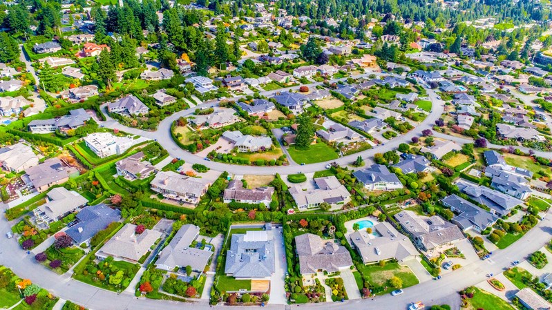
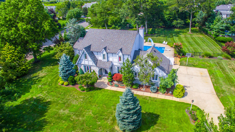
“Our concept has really taken off,” says Chris Jesuele, CEO of DroneVideos.com. “Residential Realtors and commercial real estate investors alike have responded enthusiastically to our fast and easy online ordering, 4K Ultra HD drone videos, high-resolution still photography, expert editing, 48-hour turnaround, and of course our all-inclusive, affordable video packages.”
Jesuele notes that the growing network’s aerial photography has been especially popular among real estate agents, who can present their residential and commercial listings in dramatic new ways. Realtors find the DroneVideos.com Neighborhood Aerial Package an effective tool for showcasing an entire community and its amenities, establishing the agent as an authority on a particular locale and elevating their status among buyers and sellers.
The new 3D modeling feature will allow viewers to make a fully rotatable visual inspection of a home, building, cell tower, bridge, or other property. DroneVideos.com plans to incorporate 3D modeling into their available service list by the end of the year.
All DroneVideos.com licensed drone operators are fully vetted, insured and FAA-approved. Visitors to the automated DroneVideos.com site can order their aerial video packages within minutes, and include any special instructions, with next-day scheduling generally available. No technical knowledge is required and the customer needn’t attend the shoot.
“As for the uses and impact of aerial photography, the sky’s the limit,” says Jesuele. “And now we’re making it available to everyone at affordable rates throughout the US.”
For media inquires, or to inquire about becoming a DroneVideos.com drone pilot, call 1-800-303-1783 or email [email protected]
