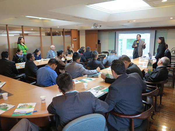
Supergeo, the global GIS software and solution provider, was invited as the main speaker to introduce novel geospatial technologies in an international GIS and land management seminar held by TGIC and ICLPST.
Sponsored by the Taiwanese government, Taiwan Geographic Information Center (TGIC) was the top research institution founded in 1963, Taipei. Since establishment, TGIC has dedicated to improving the domestic industry structure by assisting companies to use novel geographic technologies. The international GIS and land management seminar is a project aimed at sharing the experience of GIS development in Taiwan, including lectures, field trips, presentation and a forum. This year, it attracted GIS professionals that came from over 25 countries to participate.
Due to excellent performance on oversea markets and abundant products that cover from GIS data collection to publishing, Supergeo was also invited as the main speaker in this seminar. The planned topic for Supergeo Team was focused on the integration of different formats and publication of cross-platform geospatial information. Therefore, except sharing successful stories, the product manager of Supergeo also presented the advanced features of SuperGIS Desktop 10, such as LiDAR editing and the space-time visualizing, displaying the capability for cross-platform integration.
Supergeo’s presentation in the seminar earned great success. Many GIS professionals expressed their interests about SuperGIS products, and they are wishing to know more about Supergeo’s geospatial solutions as building a deeper connection with Supergeo.
Learn More Great Features of SuperGIS Desktop 10:
