
Tuesday, January 21st, 2020
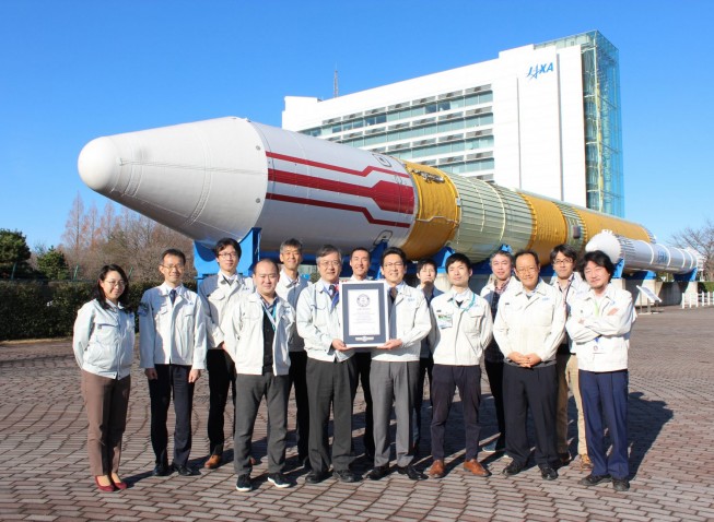
Japan Aerospace Exploration Agency (JAXA) announced that its Super Low Altitude Test Satellite “TSUBAME” (SLATS) was registered by the Guinness World Records as having achieved the “lowest altitude by an Earth observation satellite in orbit.” With its...
Tuesday, January 21st, 2020
Immersive Tour and Map Platform Receives “Vanguards of Inclusion” Designation for Commitment to Accessibility for All Users Concept3D, a leader in creating immersive online experiences with 3D modeling, interactive maps and virtual tour software, today announced that...
Tuesday, January 21st, 2020
Vaughan, Ontario, January 21, 2020 — Teledyne Optech, a Teledyne Technologies company and global leader in lidar sensing, is pleased to announce that Atlantic is first to take possession of the new Optech G2 sensor system,...
Tuesday, January 21st, 2020
Expanding their UAS / ULS presence in North America through this strategic OEM partnership, RIEGL is excited to welcome GeoCue Group to the growing base of renowned RIEGL integrators. Operating out of their United States headquarters in...
Tuesday, January 21st, 2020
Keystone Precision Instruments, a premier construction, engineering, and survey equipment consulting company located in eastern Pennsylvania, announces their corporate name change to Keystone Precision Solutions as they continue to expand, adapt, and grow. The name change reflects...
Tuesday, January 21st, 2020
Minneapolis, MN. – KorTerra, Inc., a SaaS utility damage prevention software solutions provider located in Minneapolis, MN, has appointed Bill Hunt as its Chief Technology Officer. As CTO, Hunt will play a key role in shaping KorTerra’s...
Tuesday, January 21st, 2020
WESTMINSTER, Colo.- Maxar Technologies (NYSE:MAXR) (TSX:MAXR), a trusted partner and innovator in Earth Intelligence and Space Infrastructure, today announced the Defence Geographic Agency (DGeo) of The Netherlands Ministry of Defence signed a multi-million dollar, multi-year subscription to...
Tuesday, January 21st, 2020
SEATTLE - Optio3 announced an integrated Microsoft Azure IoT and Optio3 remote operations monitoring solution to commercial transportation, motor coach, and transit fleets. Optio3 already uses Azure Maps and Azure Cloud and is looking at utilizing the Microsoft Connected...
Tuesday, January 21st, 2020
Abu Dhabi-based artificial intelligence firm Group 42 has acquired customised geospatial data products and services provider Bayanat for Mapping and Surveying Services LLC. Bayanat, which providing its clients with topographic, hydrographic, and aeronautical products and charts, as...
Tuesday, January 21st, 2020
HOLLYWOOD, Fla.- NV5 Global, Inc. (the “Company” or “NV5”) (Nasdaq: NVEE), a provider of professional and technical engineering and consulting solutions, announced today that Quantum Spatial, Inc. (“Quantum Spatial”), an NV5 company, has been selected as prime...