 Satellite imagery collected during late June 2026 reveals widespread seasonal ice retreat across the Bering Sea, highlighting ongoing changes in one of the world’s most dynamic Arctic and sub-Arctic marine environments. Researchers are using Earth-observation data to track sea-ice extent, ocean temperatures and ecosystem changes that affect fisheries and coastal communities throughout the region.
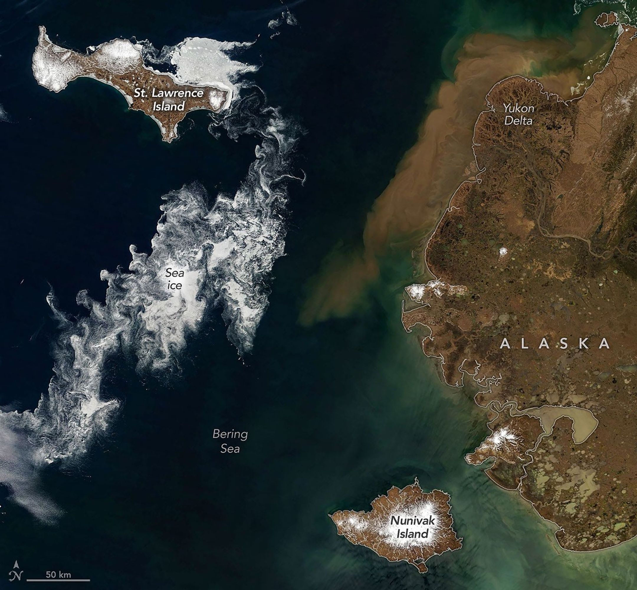
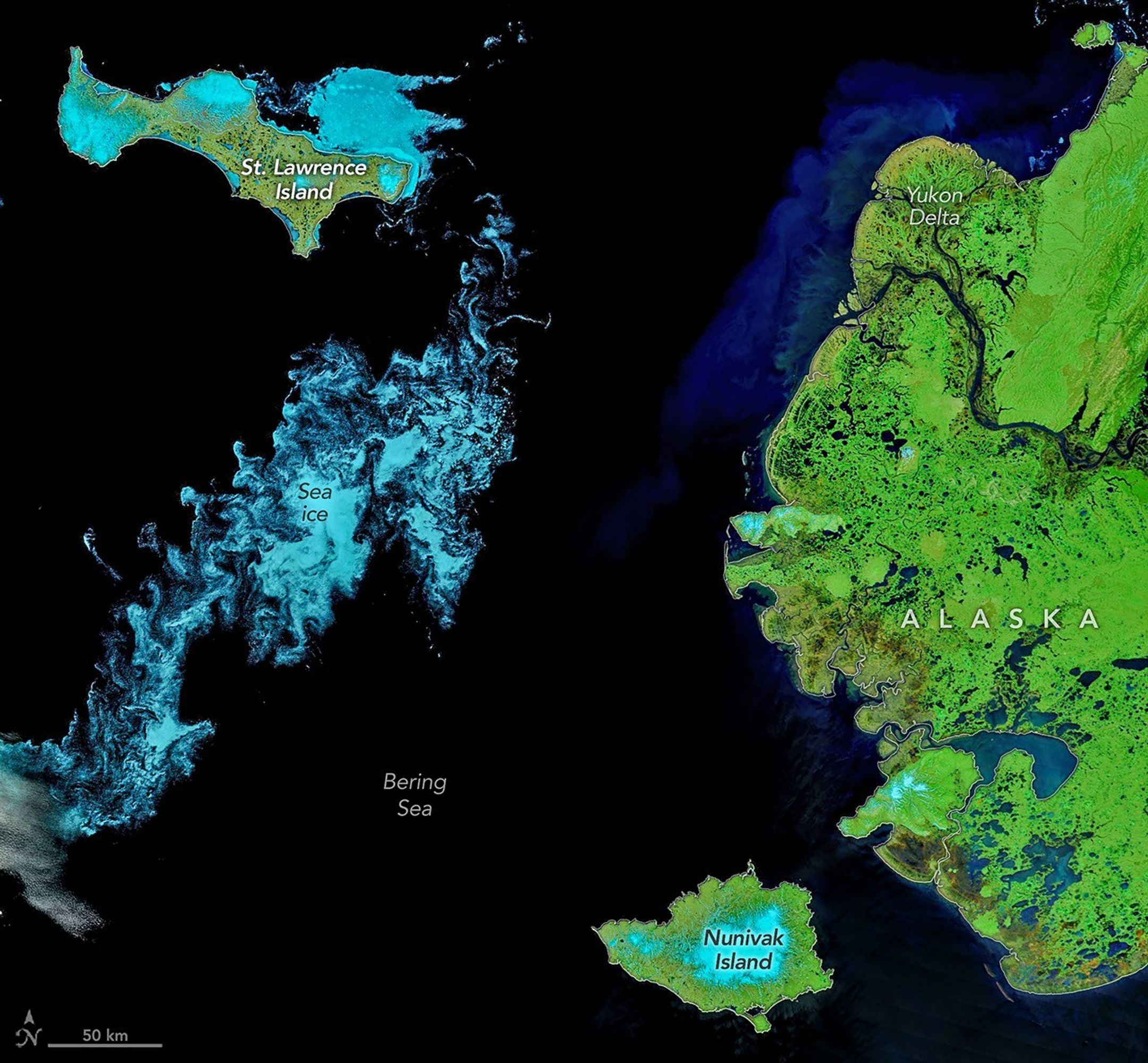
In the accompanying images, sea ice fragments drift near Alaska’s Saint Lawrence and Nunivak islands and colorful water surrounds the Yukon Delta in natural-color (top) and false-color (bottom) images acquired with the MODIS (Moderate Resolution Imaging Spectroradiometer) on NASA’s Terra satellite on June 3, 2026.
The Bering Sea serves as a critical environmental link between Asia and North America, making satellite monitoring particularly valuable for understanding long-term climate trends and supporting marine resource management. Scientists continue to evaluate how changing sea-ice conditions influence wildlife habitats, commercial fishing and regional weather patterns.
Modern Earth-observation missions provide near-real-time information that enables researchers and decision-makers to better understand rapidly changing conditions across the Arctic and northern Pacific.
Image Credit: NASA Earth Observatory images by Michala Garrison
