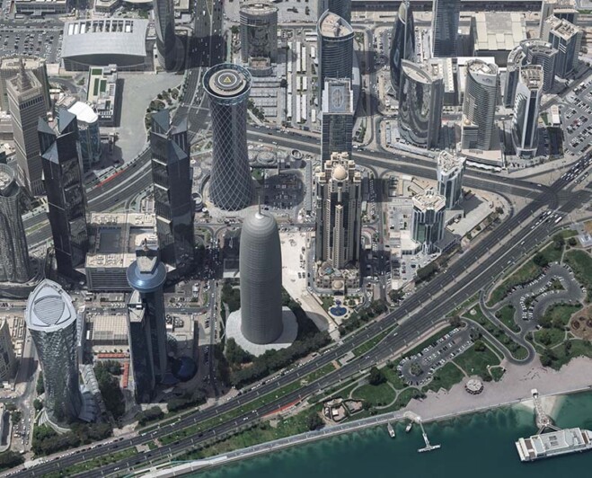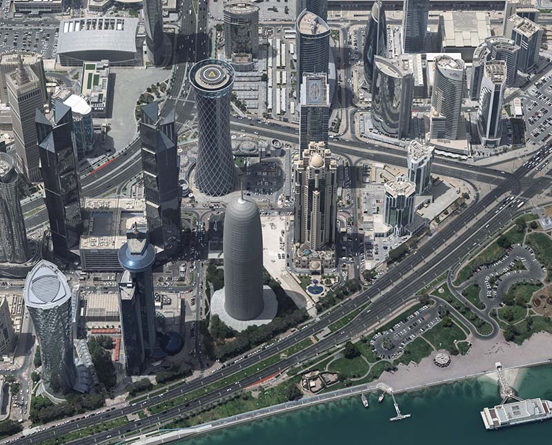

The Centre for Geographic Information Systems (CGIS), the official geospatial agency of the State of Qatar, successfully delivered the country’s first advanced, vectorized, watertight 3D city model of Doha.
CGIS collected, in collaboration with Khatib & Alami, aerial data using Vexcel Imaging’s UltraCam Osprey 4.1—a large-format photogrammetric camera system capturing both nadir and oblique imagery—and processed it with Vexcel’s UltraMap software suite. High-quality, watertight Level of Detail (LOD) 2 and LOD3 models were then generated using advanced tools from RhinoTerrain and DAT/EM Systems International, demonstrating how cutting-edge technologies and strategic collaboration can shape the future of smart cities.
The final deliverable spans 218 square kilometers across 16 designated urban areas, resulting in 43,310 LOD2 buildings and 300 LOD3 buildings. The textured, watertight models conform to CityGML standards, ensuring compatibility and seamless integration into modern GIS platforms.
This initiative enhances urban planning, infrastructure management and digital twin development, while also improving disaster preparedness and spatial analysis through a custom Esri-based image viewer.
Image Credit: Vexcel Imaging