Asian Surveying & Mapping
Breaking News
NASA releases satellite photos of Dubai and Abu Dhabi before and after record flooding
NASA released photos of parts of Dubai and Abu...
Singapore releases 10-year Geospatial Master Plan
Singapore has launched its new Geospatial Master Plan (2024–33),...
Japan announces plans to launch upgraded observation satellites on new flagship rocket’s 3rd flight
TOKYO (AP) — Japan’s space agency announced Friday a...
Tesla China partners with Baidu for maps to clear FSD hurdle
Amidst Elon Musk’s unannounced trip to Beijing, China this...
ESA opens ideas factory to boost space innovation in Austria
A centre to innovate the design and manufacture of...
Japan’s space agency sets June 30 as third launch date for H3 rocket
The Japan Aerospace Exploration Agency (JAXA) announced Friday that...
S. Korea launches nanosatellite for Earth observation
SEOUL- A South Korean nanosatellite was launched into orbit...
Australian Space Agency funds development of aerospace-grade GNSS receiver
The Australian Space Agency has funded the development of...
Continuity risks for Australian EO data access
A new report details the widespread use of Earth...
China launches new remote sensing satellite
JIUQUAN, April 15 (Xinhua) -- China on Monday launched...
Leica_Geosystems_LocataLite

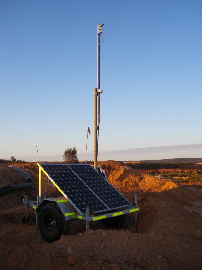
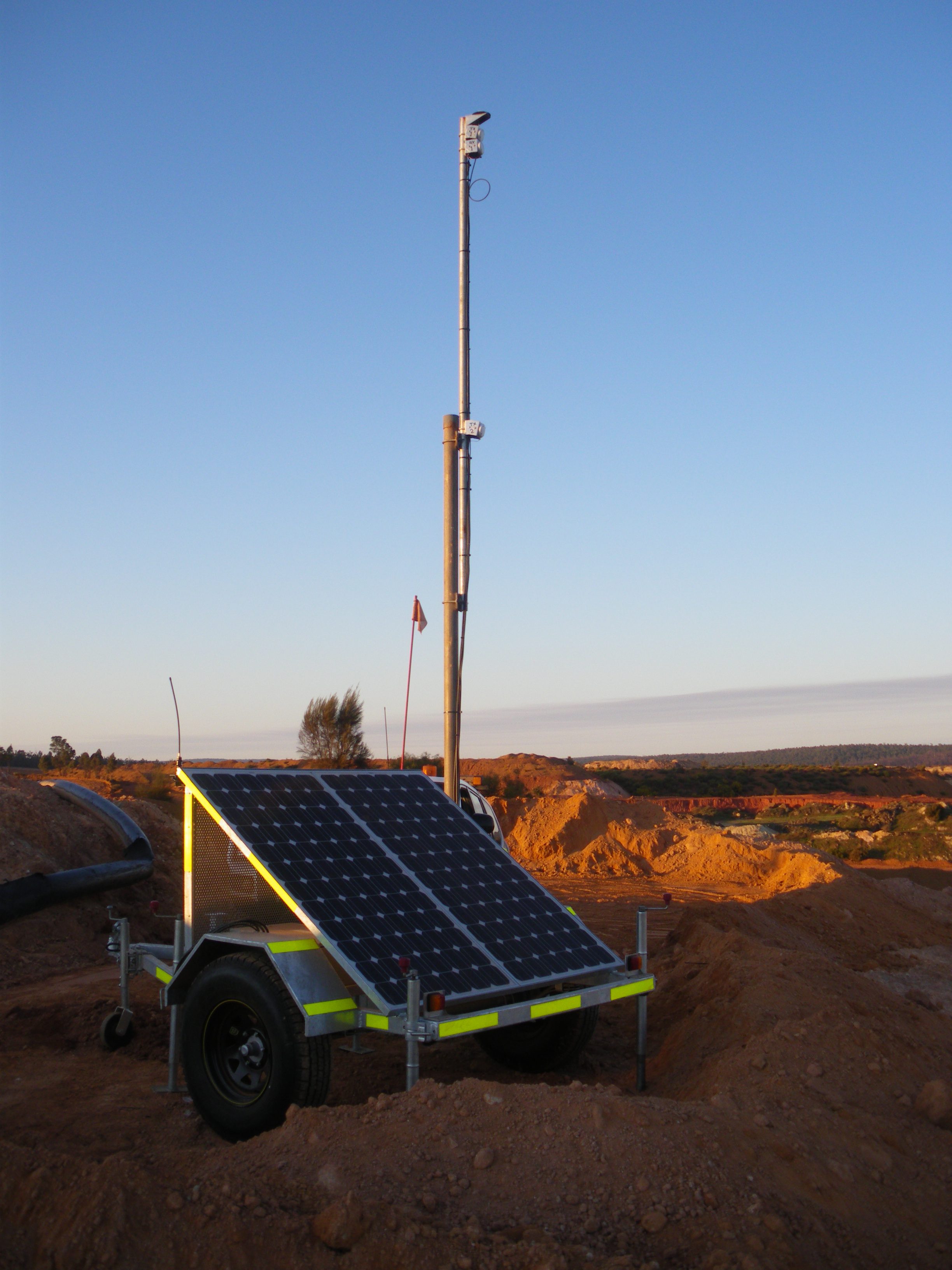
The innovative terrestrial network ensures 24/7 positioning coverage in adverse GPS situations. Open cut mines can present challenges for satellite based positioning as the pit becomes deeper, and on sites where the walls are steep. The positioning signals transmitted from satellites can become obstructed by the pit walls, reducing GPS availability and accuracy. The angle of ‘sky view’ is further reduced where machinery is in close proximity to the pit walls. Leica’s GPS augmentation network fills holes in coverage and ensures consistent and accurate positioning is always available. Read More