
Aloft Geo Portal Brings New Drone Airspace Mapping Functionality to State, Local and Commercial Stakeholders
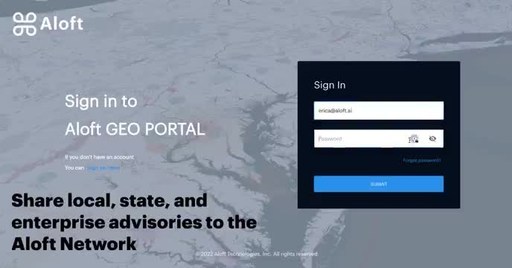
SILVER SPRING, Md.– Aloft Technologies today announced the introduction of the Aloft Geo Portal that aims to close the gap between FAA airspace rules and local ground rules for drone operations nationwide. Verified users of the portal will be able to upload and manage airspace and ground space advisories that once authenticated, will publish to the Aloft data network including all Aloft web and mobile apps including B4UFLY.
In the initial phase of introduction, new submissions will publish on a rolling basis with the first set of submissions targeted to publish in June. An authoritative data set that covers all air and ground requirements is a necessity for all drone flight, and fundamental to the future of drone delivery and air taxi use cases.
“We’re connecting the dots between drone operators, local governments and comprehensive rules of operations to the largest and most active drone flight data network. As it exists today, there’s a major information awareness gap in the industry and for drone pilots everywhere that makes compliance elusive. Aloft aims to solve this problem as this is a missing piece for UTM systems across the globe,” said Aloft CEO and Founder Jon Hegranes.
Local and state parks are acutely aware of the challenge of enforcing rules and regulations that govern drone operations. Too often the rules are simply not presented to drone pilots broadly enough and rely on posted signs that can be easily missed. Geo Portal puts control of advisories in the hands of verified users and enables them to reach the widest possible audience of drone pilots through Aloft.
To create an account and start publishing advisories, users will need to submit a verifiable email from the organization they work for as well as detailed information on the parameters and basis for the advisory. The portal is live now and accepting submissions at https://geo.aloft.ai. It’s free to upload, manage and update advisories.
About Aloft
Formerly known as Kittyhawk, Aloft Technologies is the market leader in drone airspace systems & UTM technologies and powers more than 70% of all LAANC authorizations in the US. Our solutions make it easy to fly safely and operate compliantly at scale. Our dynamic airspace platform connects the largest drone network — spanning recreational users, enterprise customers, regulators, and UTM partners across the globe.
Learn more at www.aloft.ai.
