Under the arrangement of III, KISR not only absorbed many successful experiences by visiting main science and industrial parks in Taiwan, but also understood how the governmental policy advisors and national institutes for research assist business community in promoting and integrating diverse technologies and applications.
KISR also met some key information services providers, intending to seek opportunities of mutual collaborations and development in GIS, reverse engineering, eco-resources and sea water desalinization, etc. In this journey, KISR gained a further understanding of the development and the achievement of SuperGeo Technologies and SuperGIS applications in Taiwan.
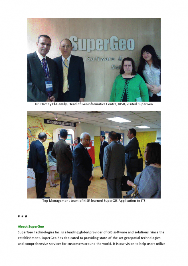
In addition, the top management team and the Geoinformatics Centre at KISR especially met with SuperGeo team for solid cooperation plans. KISR has gotten a clearer picture of SuperGeo’s capability and experience in Taiwan, and meanwhile recognized SuperGIS applications in multiple domains more comprehensively, such as Intelligent Transportation Systems, natural resources, emergency response, disaster control and management, SuperGIS Online services, as well as mapping services for Taiwan and Southeast Asia. III and KISR have signed an agreement, planning to launch many projects and to boost business yields which are estimated to be hundreds of million dollars. Taiwanese corporations are expected to officially cooperate with KISR and introduce assorted applications by the end of 2011.
Regarding the GIS services and applications, SuperGeo Technologies will provide KISR with concrete services for technological transfer and system establishment, helping Kuwait implement various policies and projects by employing GIS technologies.
For more information of Kuwait Institute for Scientific Research, please visit www.kisr.edu.kw
More information about SuperGeo is available at www.supergeotek.com