Earth-i is following up its successful tender award from the Government of Queensland by supporting the International Symposium on Digital Earth & Locate 17 Conference being held in Sydney, Australia, from April 3-6, 2017.
The Queensland Department of Natural Resources chose Earth-i to map the entire state because the company “demonstrated a clear understanding of our needs in Queensland, and the DMC3/TripleSat Constellation provides us and other Queensland government departments with the wide-area capability and the very-high-resolution imagery required to meet the needs of the user community,” according to Steve Jacoby, Queensland’s executive director of Land and Spatial Information.
Australia makes its geocoded National Address File freely available online, and developments such as the Queensland Globe, which will allow users to view and explore the state’s spatial data, show how the country is embracing the benefits that thinking spatially can bring.
“Government and the private sector will be able to identify opportunities based on what is happening around the world,” said Zaffar Sadiq Mohamed-Ghouse, chair and convenor of the Locate17 and Digital Earth Symposium Organising Committee. “Geospatial data underpin many disruptive and innovative organizations. Without it, companies like Uber would not be in business.”
Earth-i provides data from three satellites, representing a combination of high-resolution imagery and an ability to revisit the area of interest within a short timescale.
“Earth-i is keen to engage with further members of the Australian geospatial community and hopefully support further projects with our data and services,” noted Paul Majmader, Earth-i commercial director. “The DMC3 2016 archive covers a large proportion of Australia with 80-centimeter data; we are keen to understand the interest in maintaining an annual coverage and distributing this on a wider basis.”
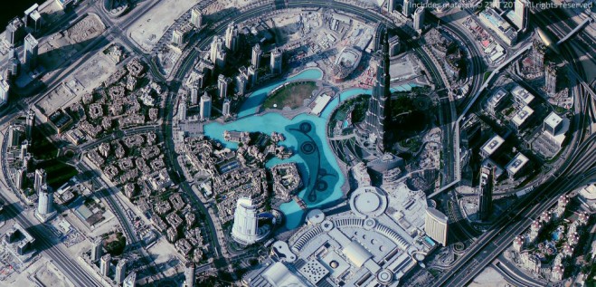
The Queensland Department of Natural Resources selected Earth-i to provide high-resolution satellite data similar to this TripleSat-1 image taken over Dubai, UAE.