
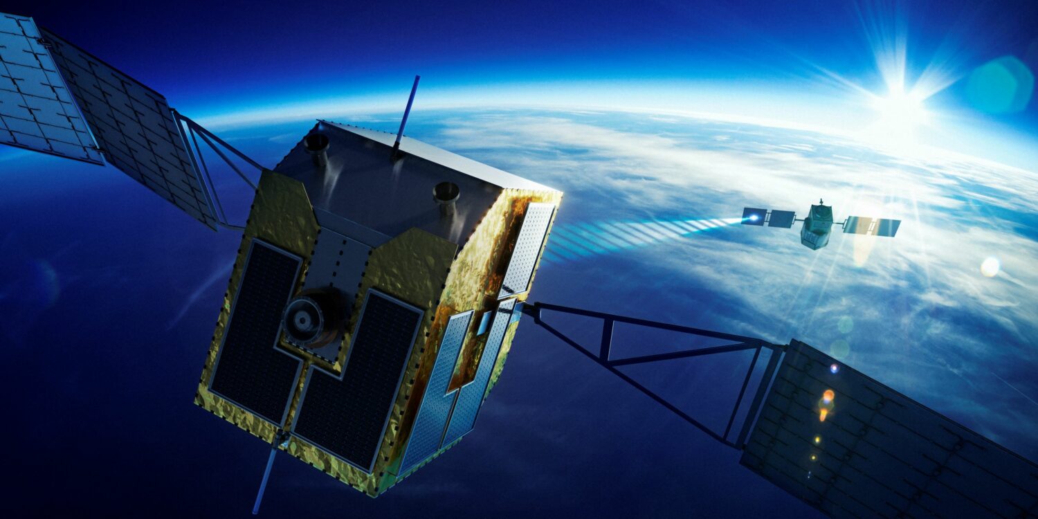
The Tokyo-based company, established on January 12, aims to begin space debris removal services in fiscal 2029, it said. The project came about after SKY Perfect JSAT and Institute of Physical and Chemical Research “RIKEN”, Japan’s largest comprehensive research institution, jointly designed and developed a payload for the world’s first satellite to actively remove space debris using laser ablation.
The payload is designed to emit a laser beam to vaporize/ionize the surface of space debris, creating a pulse of energy that can detumble the rotating object, and then decelerate it so it slowly falls towards the Earth’s atmosphere, where it ultimately burns up.
In-orbit Prototype Demonstrator
The new firm will develop a prototype, aiming to demonstrate the removal of space debris in orbit in 2027, said Orbital Lasers President and CEO Tadanori Fukushima.
Sales will target domestic and foreign companies engaged in the removal of space debris, Fukushima said.
The firm said the method offers enhanced safety because there is no physical contact with debris, which is typically moving at some 7.5 kilometers per second.
The project is also expected to lower operating costs as fuel is not needed to move the debris itself since thrust is generated by vaporization and ionization of the debris surface.
“As a satellite operator, this debris issue is now regarded as an environmental problem as significant as global warming and marine plastic pollution,” SKY Perfect JSAT said. “SKY Perfect JSAT and Orbital Lasers are addressing this concern and aiming to contribute to the improvement of a sustainable space environment,” it added.
Satellite LiDAR Technology
The new firm also plans to start earth observation services by providing high-precision ground surface information through the use of LiDAR laser technology.
The LiDAR system, which will be incorporated into a satellite, uses laser to scan a target, and the time it takes for the light to travel to the target and back is measured.
Satellite LiDAR – a separate system from the space debris removal laser – can measure the height of trees, buildings and the earth’s surface with high accuracy, so that such data can be used to create detailed, three-dimensional maps of the target area or object, Orbital Lasers said.
For example, Satellite LiDAR can be used to assess vegetation density and potential CO2 absorption capacity as well as create high-resolution maps of the Earth’s surface. The system can also be used for tasks as diverse as development planning and infrastructure design, cargo monitoring such as dockside loading of iron ore, and mining.
SKY Perfect JSAT said it has signed a contract with the Japan Aerospace Exploration Agency “JAXA” for the conceptual study of earth observation LiDAR satellites system and its future commercialization. Orbital Lasers is to undertake the study.
SKY Perfect JSAT said it has been developing space-based laser technology through collaborative efforts between industry and academia and, as a result, two businesses involving space debris removal and Satellite LiDAR have been launched.
“Moreover, space-based services play a crucial role in disaster situations, offering a valuable means to assess the extent of damage and facilitate emergency communication,” SKY Perfect JSAT said.
“The significance of space systems, as infrastructure supporting the economy and society, is anticipated to continue to increase in the future,” it added.
