
The first-to-market hybrid scanner offers mobile and stationary scanning in one device
LAKE MARY, Fla.– FARO® Technologies (Nasdaq: FARO), a pioneer in the field of 3D measurement, imaging, and realization technology is proud to announce the release of the FARO® Orbis™ Mobile Scanner, a groundbreaking advancement set to redefine 3D reality capture.
Orbis is the first to market hybrid SLAM scanner that can be used for both mobile and stationary data capture in one device. Offering local or cloud-based data processing and collaboration, Orbis is the latest evolution in FARO’s industry-leading Simultaneous Localization and Mapping (SLAM)-enabled LiDAR technology.
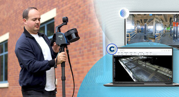
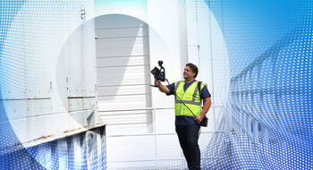
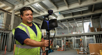
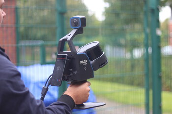
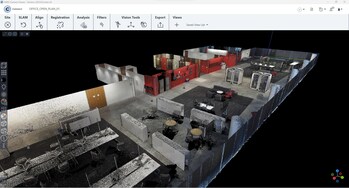
Built on FARO’s legacy in tripod-based scanning and proprietary Flash technology, Orbis operators can seamlessly switch between walking and stationary scanning while continuously acquiring 360° images, ten times faster than using a traditional static laser scanner.
Users across geospatial, architecture, engineering, construction, operations & maintenance, public safety and mining will now have the ability to capture highly accurate, detailed scans from a simple to use mobile device. With significant new functionality, FARO Sphere® XG, the latest version of Sphere, represents the evolution in cloud capabilities. Users can integrate data from static scanning, mobile scanning, 360° capture and iPhone LiDAR data all within a single, digital reality workflow platform. Project stakeholders can upload, view, measure and analyze 3D point clouds, 360° images and BIM (building information modeling) data for centralized cloud-based data storage and collaboration.
“Orbis demonstrates our commitment to innovation and expanding our served markets,” says Peter Lau, President & Chief Executive Office of FARO. “It reflects the fusion of FARO’s technologies with the capabilities brought by our recent acquisitions, GeoSLAM and HoloBuilder. It offers all the unmatched functionality of a mobile scanner, the precision of a tripod-based laser scanner and sets a new standard for 3D reality capture technology and workflow management that will transform the way people work across a range of industries. Orbis is the convergence of efficiency, data quality and simplicity and we are thrilled to bring this to the market.”
Orbis is being introduced today at INTERGEO in Berlin, Germany, and is immediately available for demonstration and purchase.
About FARO:
For over 40 years, FARO has been a pioneer in #RealityCapture, bridging the digital and physical worlds through data-driven reliable accuracy, precision, and immediacy, providing industry-leading technology solutions that enable customers to measure their world and use that data to make smarter decisions faster. For more information, visit www.faro.com.
