NEWTON, MA (USA) – Maptitude 2023, the latest version of the powerful business mapping and geographic analysis software, is available now. Maptitude 2023 provides an easy-to-use, affordable solution for businesses to visualize their data and gain valuable insights that drive success.
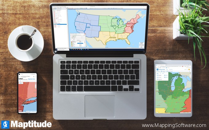
Maptitude 2023 is the most comprehensive mapping software available today. It provides businesses with the tools they need to make informed decisions, streamline operations, and increase profitability. With its advanced mapping capabilities, Maptitude 2023 enables users to analyze data in new and innovative ways, including:
Maptitude 2023 is an all-in-one solution that integrates seamlessly with existing databases and software, making it easy to import and analyze data. Its intuitive interface and powerful features make it easy to use, even for those without a background in mapping or GIS.
“We are thrilled to bring Maptitude 2023 to market,” said Maptitude VP, Stewart Berry. “We believe that Maptitude 2023 is the ultimate tool for businesses looking to gain a competitive edge. With its advanced mapping capabilities and ease of use, Maptitude 2023 will help organizations of all sizes make better decisions, increase efficiency, and drive success.”
 |
“Maptitude provides me with the best maps and mapping software on the market! I love layering and the border filters. The software is easy to use, but you can still do complex projects.”
Kendrick Buckingham |
Maptitude 2023 is available now. For more information, See:
Caliper Corporation is a leading provider of mapping software and geographic analysis tools for business, government, and education. Founded in 1983, Caliper has been at the forefront of the mapping and Geographic Information Systems (GIS) software industry for nearly 40 years. Its flagship product, Maptitude, is used by thousands of organizations worldwide to make better decisions and to achieve their goals.
Caliper is a privately held corporation and is a leading developer of mapping software, redistricting, transportation, and GIS software.
