
Airbus is now offering, via its OneAtlas platform, online access to purchase optical and radar imagery, as well as digital elevation models, under one platform, making data access even easier for users.
Airbus has released an easy-to-use online interface that allows customers to directly task the radar satellites and access the comprehensive 15-year radar archive. In late June, users will also be able to order digital elevation models online from the WorldDEM suite of data products, which are derived from the Airbus radar data.
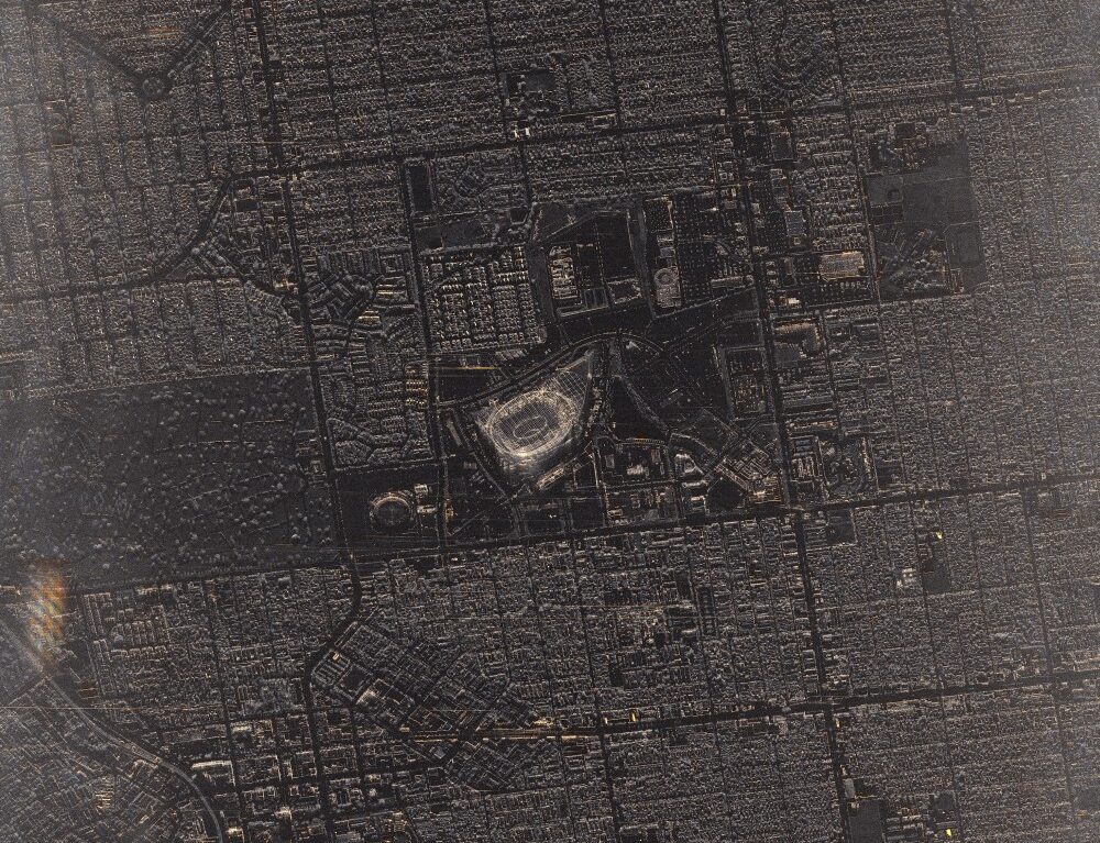
“We are the only satellite imagery provider to allow, through a unique platform, online tasking of both optical and radar constellations, easy access to archive imagery as well as elevation data” said François Lombard, Director of the Intelligence business at Airbus Defence and Space. “OneAtlas already provides access to optical satellite data from the Airbus Constellation, including Pléiades Neo, and we continue to push the boundaries in terms of what data access looks like.”
Under the OneAtlas umbrella of data services, the radar tasking and archive service provides 24/7 access to users who are looking to acquire new radar data or for a rich, 15-year, historical pool of data with global coverage. The Airbus TerraSAR-X, TanDEM-X and PAZ radar sensors offer 6 acquisition modes that range from 25cm to 40m in resolution with image swaths up to 270km.
Radar satellites provide weather and daylight-independent data collections which can be used to support image intelligence over sensitive areas, maritime surveillance, object and change detection, mapping, subsidence, and much more.
In late June, Airbus will also be releasing online access to the WorldDEM suite of products, via the WorldDEM portal & API service. This will provide fast and easy access to global elevation data in various resolutions and users will be able to download the entire suite of products: WorldDEM Neo (5m), WorldDEM (12m), WorldDEM4Ortho (24m), WorldDEM DTMlite (24m) and WorldDEM30 (30m).
The WorldDEM product suite allows users to run analytics that include profile calculations, line-of-sight analysis, run-off modelling, hydrological modelling, orthorectification of satellite imagery and much more. Users of the service will be able to monitor and track their consumption, define large or small AOIs and download the data that’s needed.
