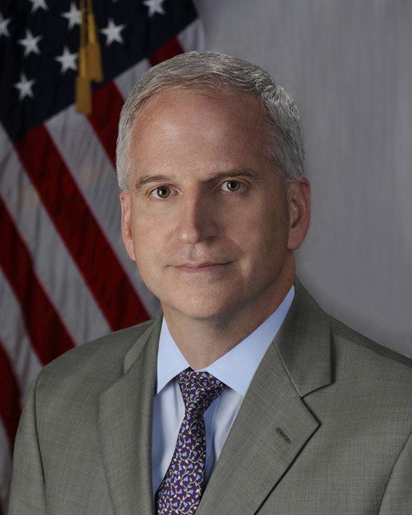
HERNDON, Va.– HawkEye 360 Inc., the first commercial company to use formation flying satellites to create a new class of radio frequency (RF) data analytics, today announced that Robert Cardillo has joined its advisory board. Cardillo is the former Director of the National Geospatial-Intelligence Agency (NGA) and a highly experienced national security professional and geospatial expert.

“Robert’s work in the intelligence community and geospatial industry is highly regarded and extremely valuable,” said HawkEye 360 Chief Executive Officer John Serafini. “Robert’s counsel, combined with that of our exceptional advisory board members, will provide great benefit to the company in its continued engagement and support of critical U.S. and international government customers.”
During his tenure as the sixth Director of the NGA, Cardillo sought to leverage the growing commercial capabilities of the geospatial industry. Prior to the NGA, Cardillo served as the first Deputy Director for Intelligence Integration, Office of the Director of National Intelligence, where he was responsible for delivering the President’s Daily Brief and overseeing the National Intelligence Council and the National Intelligence Managers. Currently, Cardillo is president of The Cardillo Group LLC, founded in May 2019.
“The potential of the commercial geospatial industry grows every day — especially in partnership with the intelligence community,” said Cardillo. “I am excited about and look forward to working with the advisory board members on HawkEye 360’s pioneering technologies and offerings.”
In addition to his extensive work in the intelligence community, Cardillo has been awarded the Presidential Rank of Distinguished Executive (twice), the Presidential Rank of Meritorious Executive, the Director of National Intelligence Distinguished Service Medal (twice), the Secretary of Defense Distinguished Service Medal (twice) and the Chairman of the Joint Chiefs of Staff Joint Meritorious Civilian Service Award.
Cardillo becomes the 19th member of HawkEye 360’s advisory board. The advisory board contains a wide breadth of leadership experience and knowledge, including members such as Advisory Board Chairperson Letitia Long (former fifth Director of the NGA), Doug Wolfe (former Chief Information Officer of the Central Intelligence Agency), Admiral James A. “Sandy” Winnefeld, Jr. (former United States Vice Chairman of the Joint Chiefs of Staff), Robert Work (former United States Deputy Secretary of Defense), and Douglas Loverro (former United States Deputy Assistant Secretary of Defense for Space Policy).
More information about HawkEye 360 can be found at www.he360.com.
About HawkEye 360
HawkEye 360 is a Radio Frequency (RF) data analytics company. We operate a first-of-its-kind commercial satellite constellation to identify, process and geolocate a broad set of RF signals. We extract value from this unique data through proprietary algorithms, fusing it with other sources to create powerful analytical products that solve hard challenges for our global customers. Our products include maritime domain awareness and spectrum mapping and monitoring; our customers include a wide range of commercial, government and international entities.