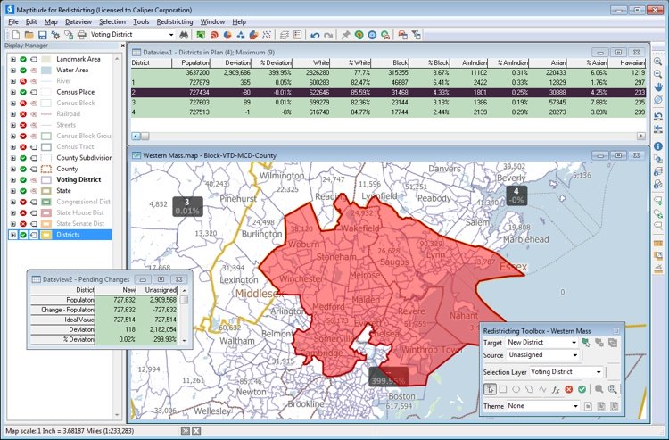
NEWTON, MASSACHUSETTS (USA) – Maptitude for Redistricting is critical for anyone involved in or preparing for the 2020 redistricting cycle. With advanced features that make redistricting easy for novice to professional users, Maptitude for Redistricting has you covered. Maptitude for Redistricting 2019 has new partisan competitiveness reports, adds access to imagery layers, and allows you to save and share your plans in a variety of formats.
Maptitude for Redistricting 2019 has many new features including:
» Speed improvements provide faster access to maps and geographic analysis
» Expanded file support for Excel worksheets, Google Earth Documents (KML/KMZ) attribute data fields, and MapPoint files
» New partisan competitiveness reports and measures of compactness for analyzing redistricting plans
» Integrated satellite imagery from a variety fo sources for giving a better view of district composition
» The latest Census geography and data, including current ACS data
To learn more about new features in Maptitude for Redistricting 2019, please visit the Caliper website. For more information, call Caliper Sales at 617-527-4700, or email us.
Maptitude for Redistricting is the professional tool for political redistricting. The ease-of-use, fitness-for-purpose, and competitive pricing of Maptitude for Redistricting have made Maptitude the dominant product for political redistricting. Maptitude provides measures and reports that support the creation of fair and balanced districts. Maptitude is constantly enhanced and provides cutting-edge tools such as the Efficiency Gap Measure for exploring redistricting problems. Maptitude was used to democratize redistricting in California and is used by the majority of redistricters, from independent commissions, non-profits, and civil rights groups, to the courts and political parties.
Caliper is a privately held corporation and is a leading developer of mapping, redistricting, transportation, and GIS software. Maptitude for Redistricting is used by a supermajority of the state legislatures, political parties, and public interest groups.