
PORT ST. LUCIE, Fla.– Utility Testing and Geographic Information Systems LLC (UTGIS) is pleased to announce the commercial launch of the ETR-3M (BigWave) radio detection system for use in conducting mobile voltage safety surveys.
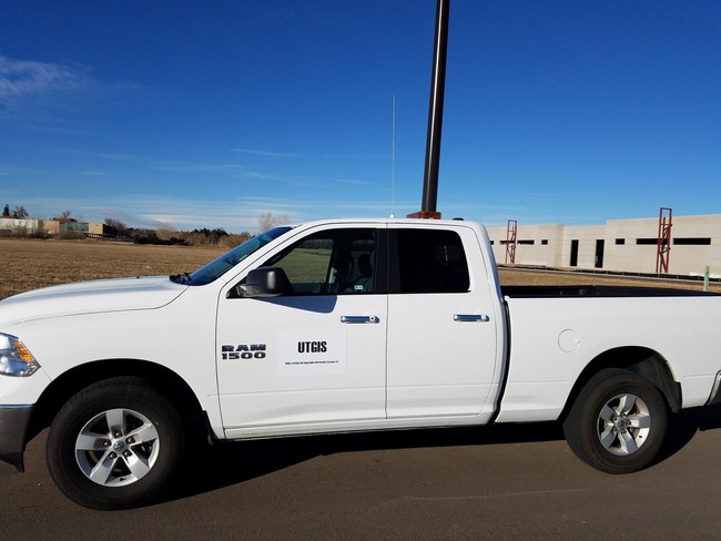

“The ETR-3M is an exciting new and affordable safety technology allowing utilities, municipalities, transportation / street lighting departments and other interested contractors to perform fault voltage safety scans on their electrical distribution systems and circuits,” said Mark Voigtsberger, President of Florida based UTGIS. “The ETR-3M listens for electrical leaks as the survey vehicle drives along the street- electric leaks on objects such as light poles, manhole covers, junction boxes, bus stops and traffic signal equipment that could shock or electrocute pedestrians and animals.”
Hazardous faults on electrical distribution system equipment are common- on average, one in every 337 metal light poles has full phase voltage on it. That is, one in every 337 poles has 120 volts or greater on it- more than enough to shock / injure a human or pet. Light poles with less than 120 volts are much more common, averaging about one in every 10 to 20 poles. The primary reason for these electrical faults is the degrading electrical infrastructure across the country – many of these devices and associated wiring are being used years or decades past their expected service life. The BigWave offers a cost effective solution to evaluate or monitor the condition of every electrical distribution system regardless of size.
While the most common application of the ETR-3M is to mount it on a truck or SUV, the BigWave system is equally at home on ATV’s, golf carts, mountain bikes, drones or any other type of survey vehicle. This mounting versatility allows places such as public parks, sports/recreational fields, collage and corporate campuses to be tested in short order – locations typically lacking roads but having lighted sidewalks, trails and paths. These are areas known to have higher numbers of electrical faults because they often use direct bury cables- underground wiring without a protective metal or plastic conduit surrounding them.
The ETR-3M has a variety of options and add-on features to meet the application for each user. The basic turnkey system is portable between different vehicles and requires about 10 minutes to set up. The top end system is comes hardwired into a vehicle and includes all ancillary equipment such as DOT amber light bars, GPS mapping system for documenting the survey route, traffic safety cones and the various meters needed to confirm detections from the BigWave. All systems include a tablet with spectrum analyzer software installed and training on the operation of the device.
Each BigWave system is built to the requested specifications of the end user and delivery takes about 3 weeks from date of order. Technical specifications and datasheet are available on request from UTGIS.
