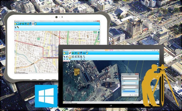
Supergeo is pleased to announce that the major electric company in the Philippines, Aboitiz Power Corporation, has recently selected SuperPad to assist the inspection of facilities by its excellent capabilities in the fieldwork.
Integrated by several power-related investments of Aboitiz Group, Aboitiz Power Corporation was incorporated in 1998. It is now one of the leading power corporations in the Philippines, which covers various businesses like power generation, power distribution, and retail electricity services. The power distribution service provided by Aboitiz Power includes the second largest metro in the Philippines, Cebu, and also the third largest, Davao.
For electric power companies and other utilities, it is a necessary and common task to regularly check the condition of various facilities on-site. SuperPad is one of the core mobile GIS products of Supergeo and is a smart choice for on-site inspections of utility companies. By using SuperPad on handheld devices or tablet computers, fieldworkers can inspect facilities and then edit its attributes, so the colleagues at the office can receive and display these data on maps in real-time. Finally, according to the spatial distribution of broken devices, the manager can choose the best route to repair and maintain them, saving a lot of time and cost. Other than that, SuperPad also provides many advanced features for GIS and measurement, such as the NTRIP solution for high accuracy, supporting various OGC standards (WMS, WMTS, WFS), and on-the-fly projection, helping crews to finish jobs efficiently.
Sign in and try SuperPad now:
http://www.supergeotek.com/download_6_mobile.aspx
Learn more about other advanced features of SuperPad:
http://www.supergeotek.com/productpage_SP3.aspx?Type=Key%20Features