Wednesday, September 14th, 2016
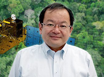
The Japan Aerospace Exploration Agency (JAXA) interviewed Kenichi Shishido, who is in charge of forestry and conservation projects at the Japan International Cooperation Agency (JICA), an independent administrative institution that coordinates official development assistance for the government...
Wednesday, August 17th, 2016
CAIRO - China and Egypt should carry out extensive archaeological cooperation to help each other discover their buried treasures, which is necessary for both the Chinese and Egyptian civilizations, experts said here Monday. Read More at Xinhua
Tuesday, August 16th, 2016
CHENNAI: In an attempt to give some relief to people of disaster-prone Uttarakhand, the Union government has roped-in the Institute of Remote Sensing (IRS) in Anna University to predict the occurrence of landslides in the Himalayan region...
Monday, August 8th, 2016
Qatari satellite operator Es’hailSat has been busy preparing for its second satellite, Es’hail 2, as well as the completion of a new, fully owned teleport. The company hopes the new infrastructure will not only cement its role...
Wednesday, July 20th, 2016
Mizoram Remote Sensing Application Centre (MIRSAC), Directorate of Science and Technology and Geography Association of Mizoram (GAM) today erected a stone at a place where the Tropic of Cancer runs through Mizoram, an official statement said. Read...
Monday, July 18th, 2016
Bengaluru: Senior space scientist Dr P V Radhadevi scripted history at Prague on Saturday when she was awarded the Eduard Dolezal Award 2016. Read More at English Mathrubhumi
Wednesday, June 29th, 2016
AsianScientist - Professor Zeng Qingcun from the Institute of Atmospheric Physics, Chinese Academy of Sciences, has received the 61st International Meteorological Organization Prize. Zeng is the third Chinese citizen to win this award. Read More at Asian...
Monday, June 20th, 2016
Pune: The Pune Municipal Corporation is consulting Space Application Centre, Indian Space Research Organisation, Ahmedabad, for using high resolution remote sensing picture data to keep a tab on encroachments and creating a 3D model of the city...
Friday, June 17th, 2016
Indian Space Research Organisation-Indian Institute of Remote Sensing (ISRO-IIRS) invited applications for recruitment to the post of Junior Research Fellow (JRF) for various research projects. Eligible candidates can attend walk in interview along with necessary documents on...
Wednesday, June 8th, 2016
BEIJING — China released a remote sensing report on Monday, detailing ecological information related to land cover, vegetation, agricultural conditions and marine environment on a global scale. Read More at News Xinhuanet
