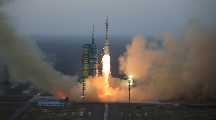
On Dec. 28, 2016, China launched a pair of high-resolution remote-sensing satellites from the Taiyuan Satellite Launch Centre in Shanxi Province, state-run Xinhua news agency reported. The satellites, SuperView-1 01/02, were launched on a Long March 2D rocket, and they’re able to provide commercial images at 0.5-meter resolution.
The satellites’ launch followed release of a white paper noting that by 2020 China plans to form a BeiDou network consisting of 35 satellites for global navigation services to compete with the U.S. GPS. According to the paper, China plans to provide basic services to countries along the Silk Road Economic Belt and 21st-century Maritime Silk Road in 2018.
Click here for more information.
UPDATE:
Two commercial Earth-imaging satellites launched by a Chinese Long March 2D booster Wednesday are flying in lower-than-planned orbits after an apparent rocket mishap, according to tracking data published by the U.S. military.
The two SuperView 1, or Gaojing 1, satellites are flying in egg-shaped orbits ranging from 133 miles (214 kilometers) to 325 miles (524 kilometers) in altitude at an inclination of 97.6 degrees.
The satellites would likely re-enter Earth’s atmosphere within months in such a low orbit, and it was unclear late Wednesday whether the craft had enough propellant to raise their altitudes.
Click here for more information on the latest news.
Two SuperView-1 high-resolution remote-sensing satellites were launched in late 2016 from the Taiyuan Satellite Launch Centre in Shanxi Province. (Credit: AP)


